Categories
Hiking

Monte Guglielmo

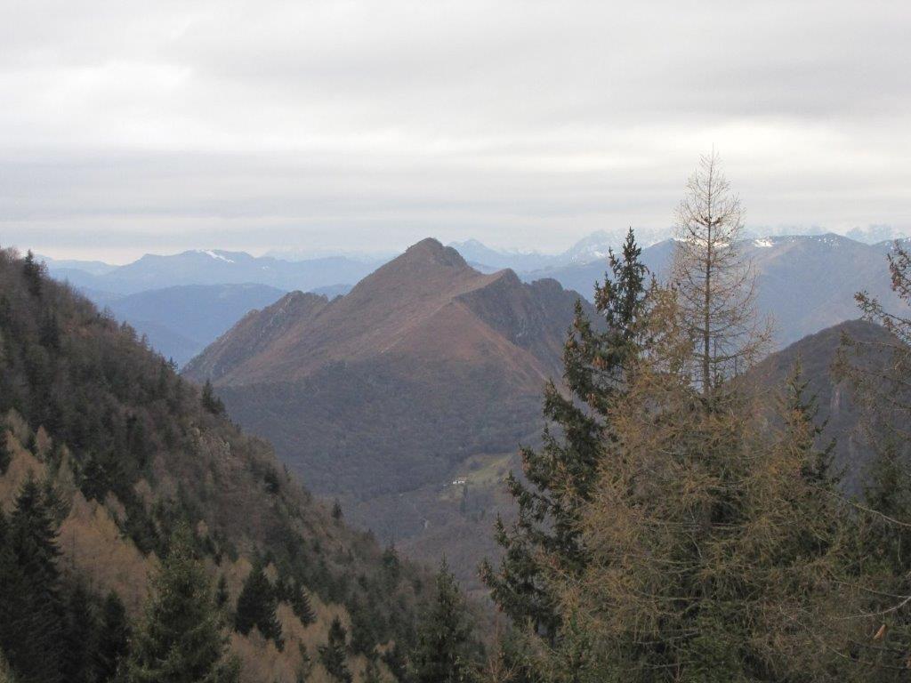
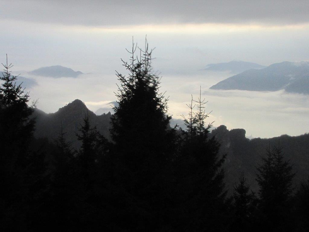
Next to Bergamo surrounded by mountains there is lake Iseo. Monte Guglielmo we plan to visit today is located on the other side of the lake. The track starts near the village with funny name – Zone. To get there we have to drive be the lake through a number of tunnels.

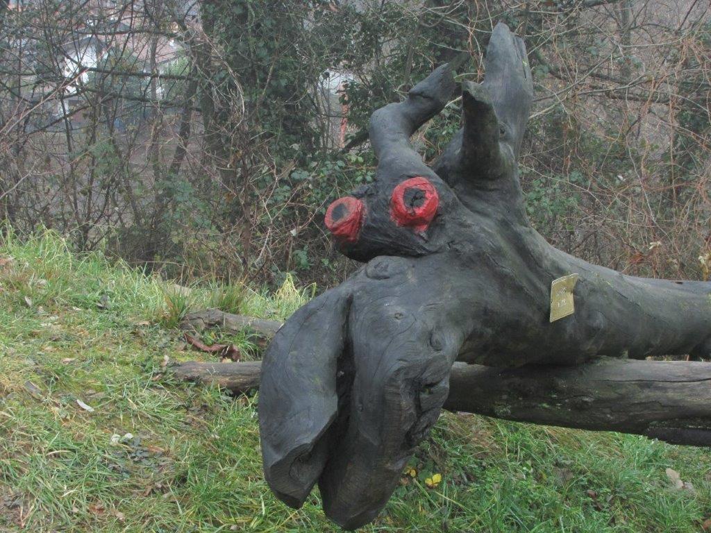
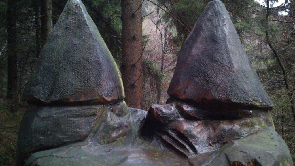
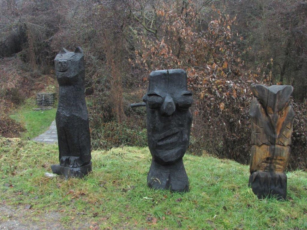
When out of Zone we soon get on a paved Roman road. Somebody (not the Romans as one should guess) has erected wood-trunk made sculptures of drakons and dwarfs. Some twenty of them. Further by the road dwarfs sit on the tree stumps.

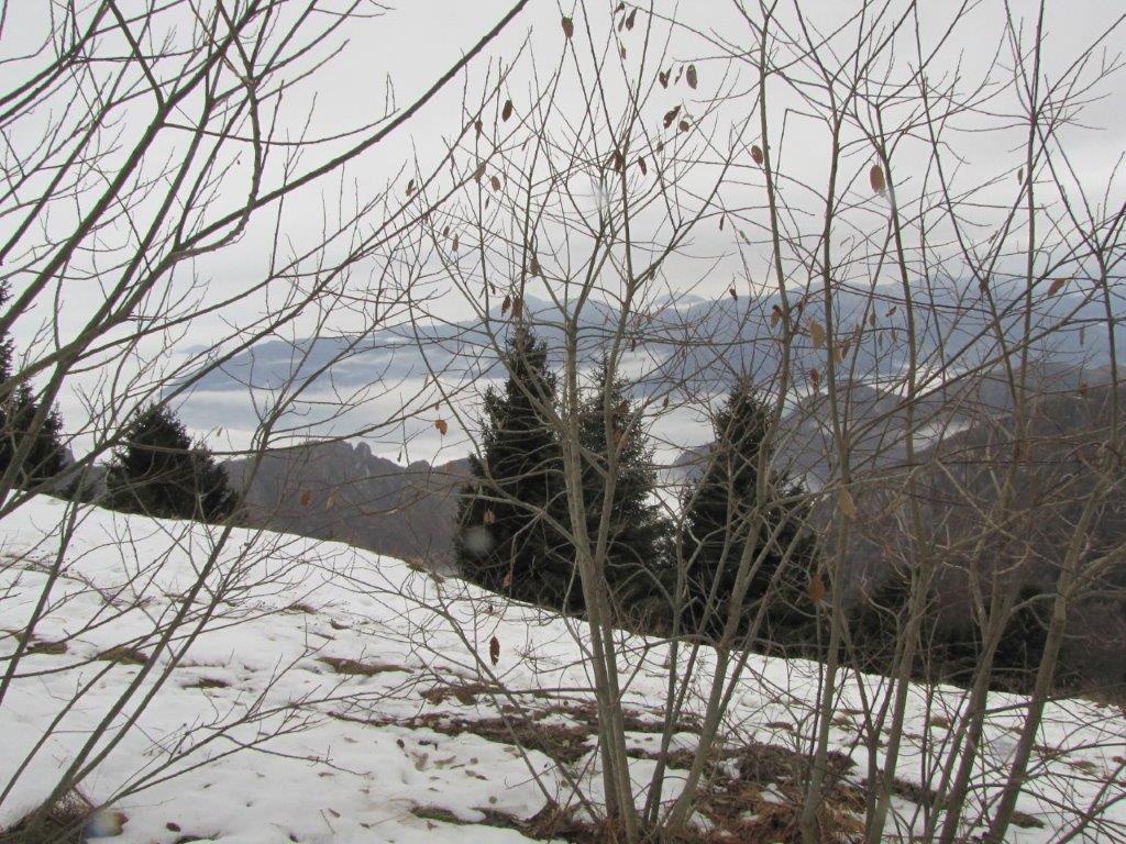
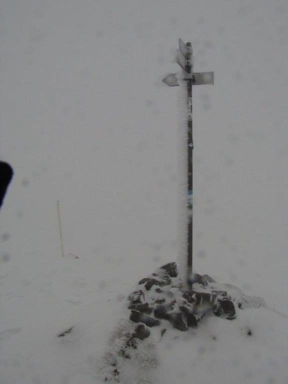
Higher up the slope Guglielmo features some ice and snow. In no time we struggle through the layer of snow that gets thicker and thicker. The blizzard waits for us just when we are out of the shelter of trees. Zero visibility.

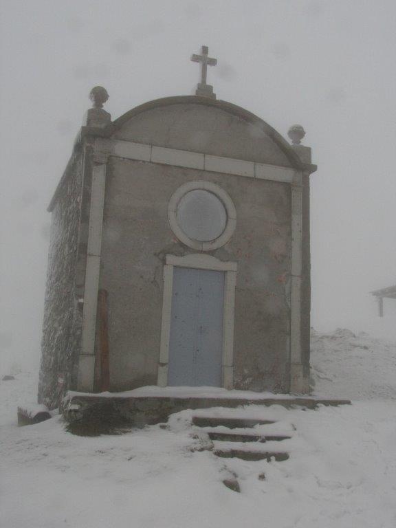
After a long walk in a deep snow we are at a mountain hut. Mont Guglielmo should be somewhere close enough so we walk further. We find a panorama table partly covered in snow and decide (wrongly as we find out later) we are at the top. After a short rest we then return by the same path.

As closer to Zone village the pavement gets slippery (it was easier to go uphill), it is dark when we return to the car. For the way home we select to drive another side of Iseo lake – a long road and without tunnels. Luckily we find a place where they serve delicious (because we are hungry?) pica.
Download file: Monte Guglielmo.gpx
To the start
Next day
Categories
Hiking

Lakes Molières

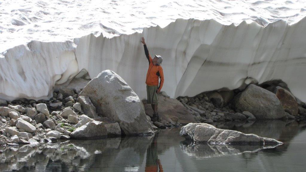
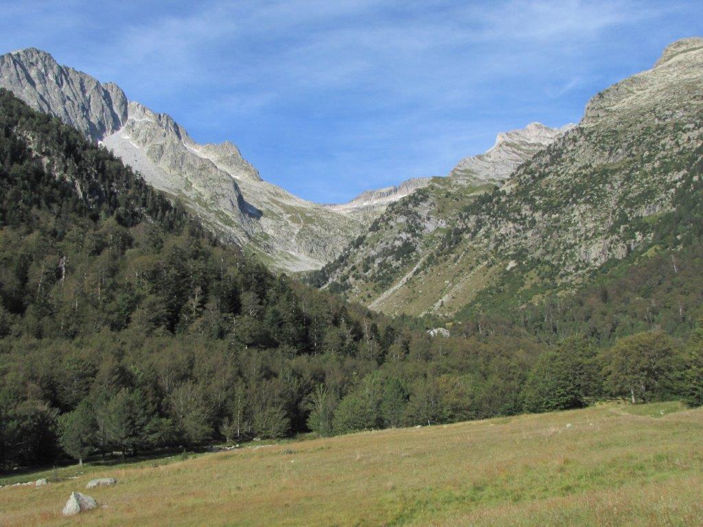
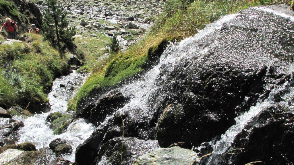
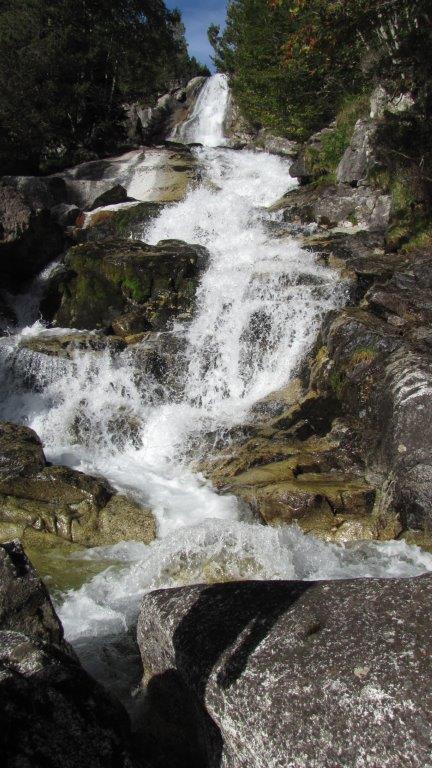
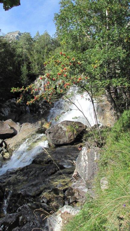
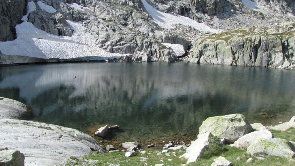
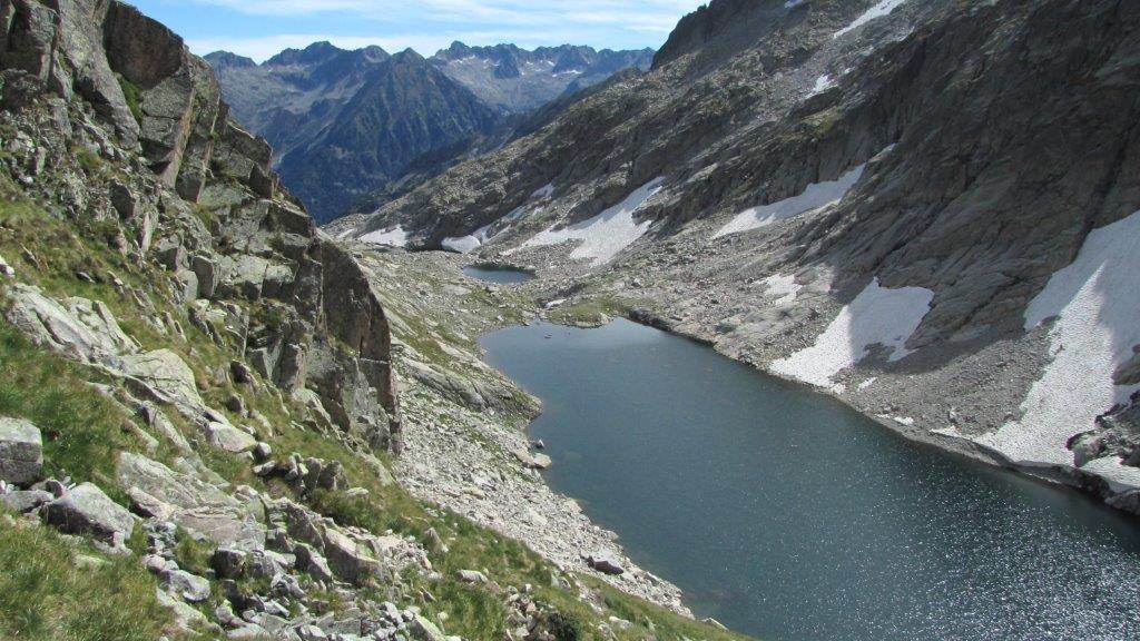
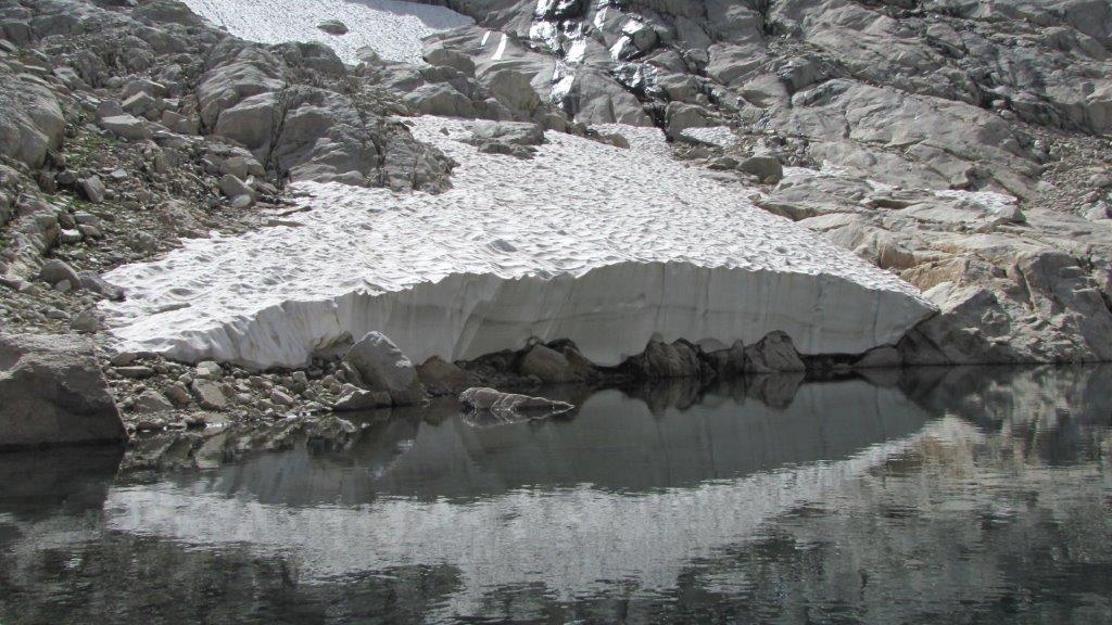
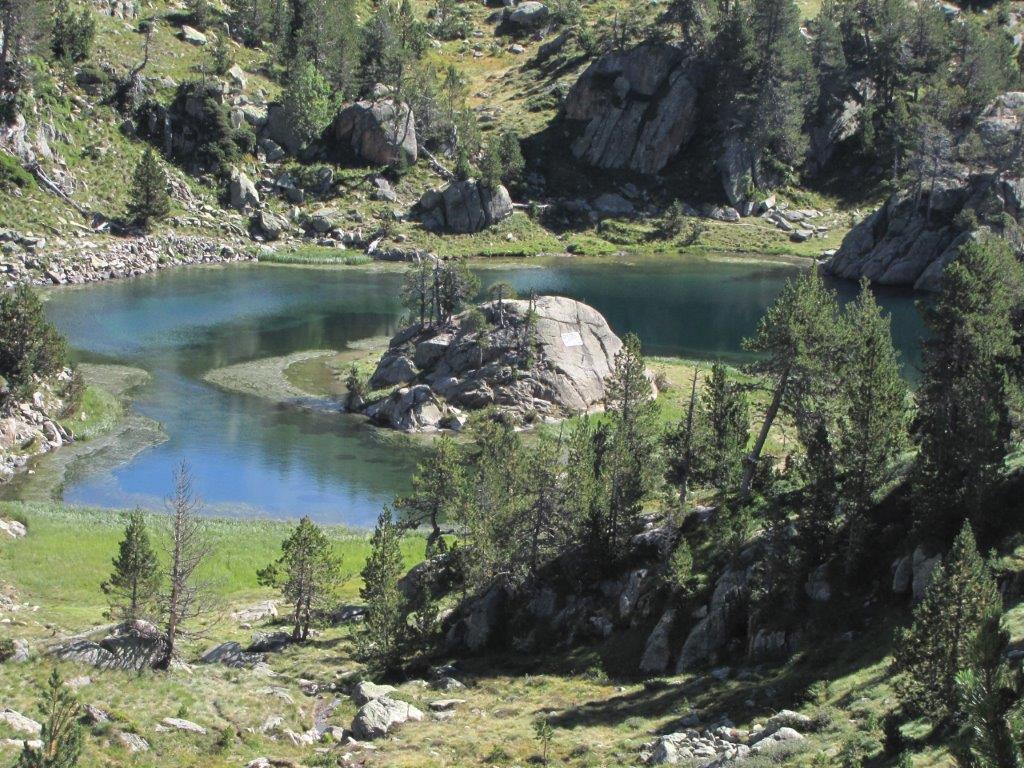
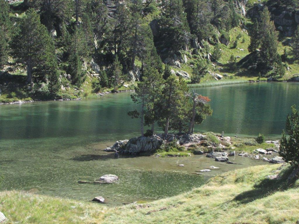
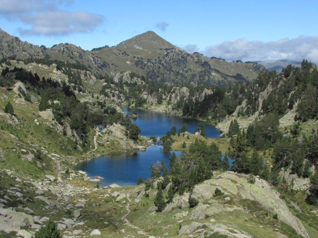
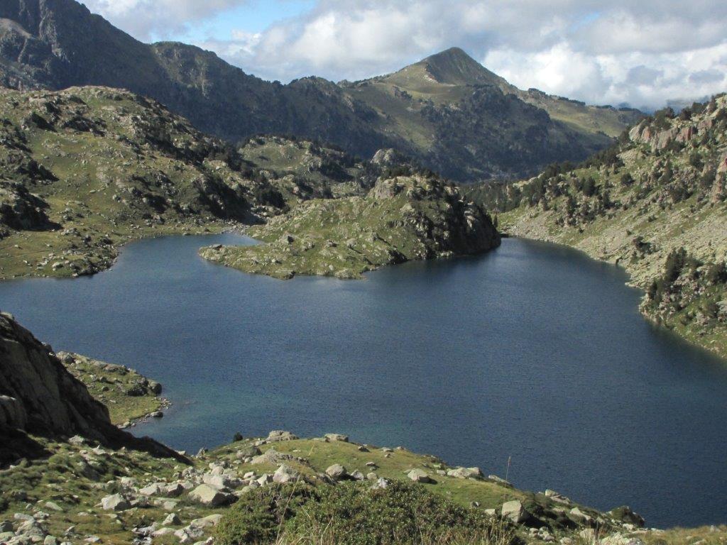
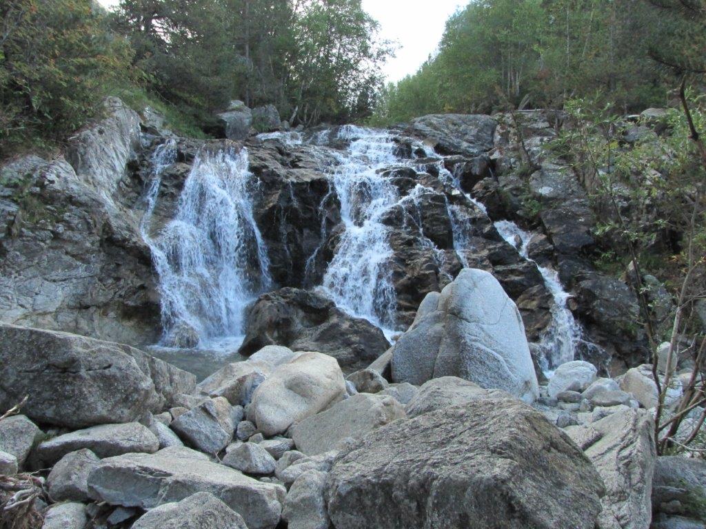
The track starts the same place where the one to the Tuc deth port de Vielha – near the other end of the Vielha tunnel. The weather is still sunny and warmer than yesterday. We walk the path by the mountain stream and waterfall. Gradually the path gets steeper and takes us to the forest full of beeches. In a couple of hours uphill walking we are at the first lake Molières. Close to it we find another two and a little bit further up – the fourth lake Molières. We climb uphill a bit on the other side of the fourth lake than turn back to have a rest near the lake. The lake has a thick layer of snow at its sides. Two meters at least – it is hard to reach with a hand the top.

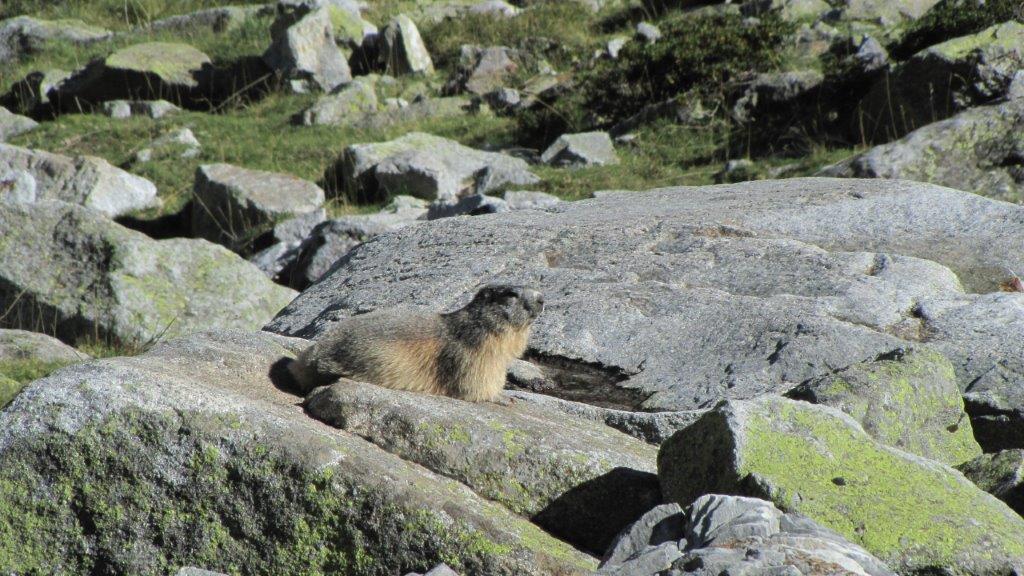
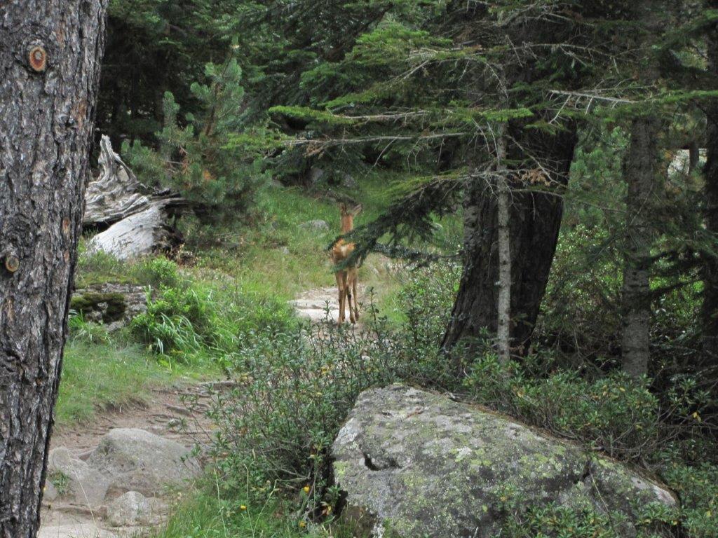
On a way back Benita and Imants decide to go faster. Me and Ilze are staying behind to take a shots of two marmots. One of them seems not to object to be on a couple of shots. Another one sits a little bit higher uphill on a stone and whistles.

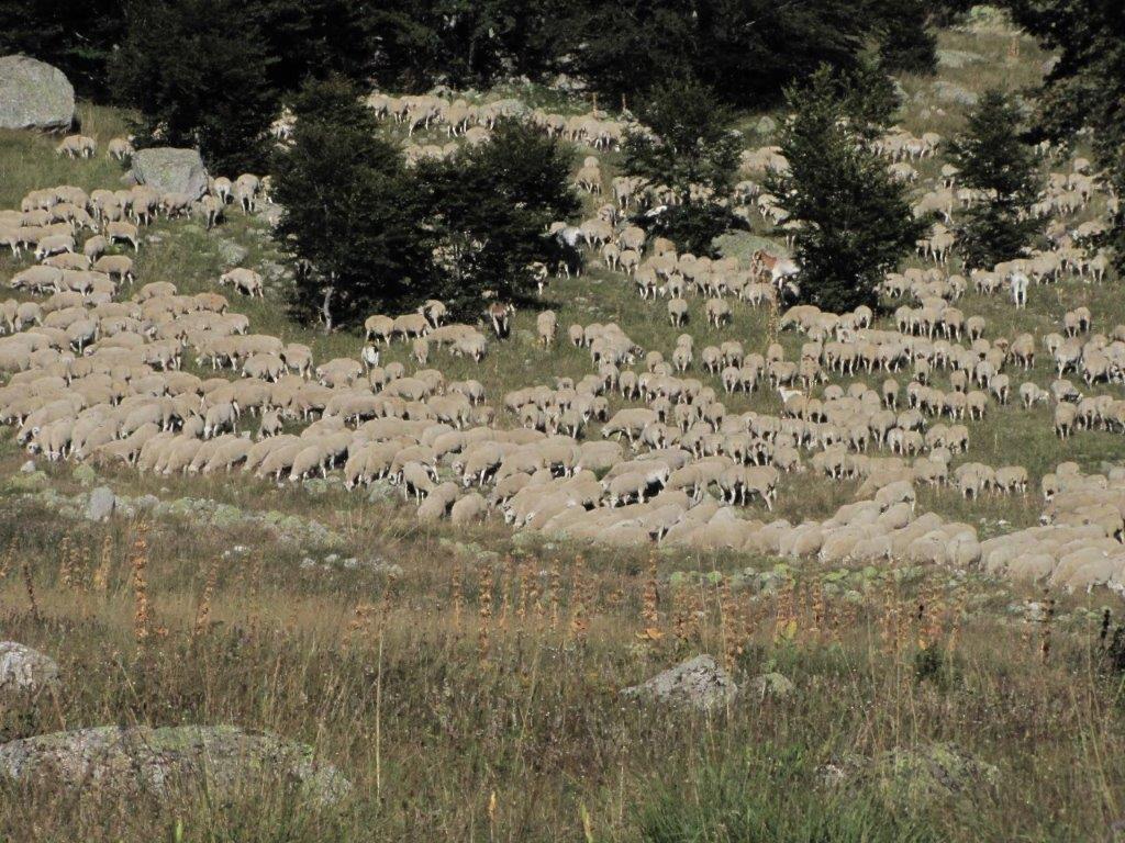
Right next to the parking place we notice a large herd of sheep. Looks like there is huge moving carpet on the slope.

Download file: 19 Molieres.gpx
To the start
Categories
Hiking

Tuc de Ratera

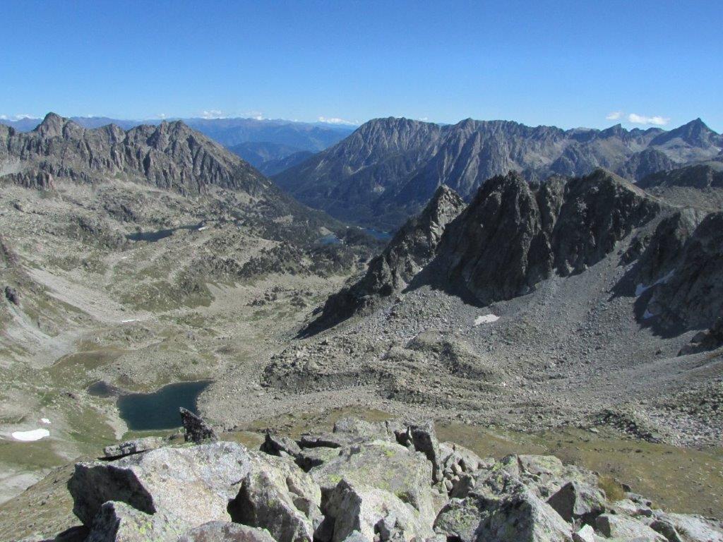
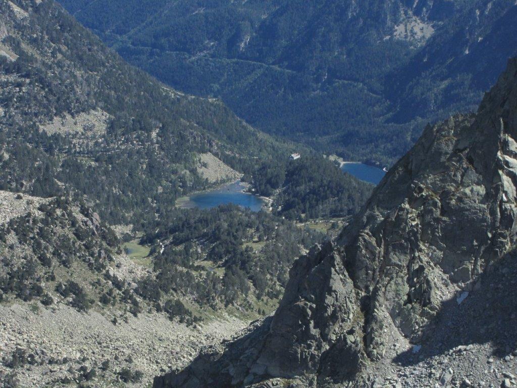
The plan for today is to climb to the Tuc de Ratera summit. The weather is sunny but rather chilly in the morning – about 5 Celsius. We drive to Salardu then turn of to the smaller road to the mountain hotel Banhs de Tredos. Here we start out hike by the mountain road then path to the large Lac Major de Colomers. Here next to the lake are located the Colomers refuge (two of them in fact  – the old and the new one). On the way to the Colomers we found a hollow full of grass white colored in frost. We proceed uphill by several beautiful lakes, then to Port de Ratera de Colomers mountain pass and to the Tuc de Ratera summit. One of the lakes we walk by has name Lac deth Ombres. Ombre means shadow in French and it looks sort of shady.

When descending from the Lac Major de Colomers we split – Benita and Imants  follow a road, me and Ilze – the same path we ascended.

Download file: 18 Tuc de Ratera.gpx
To the start
Categories
Hiking

Glymur

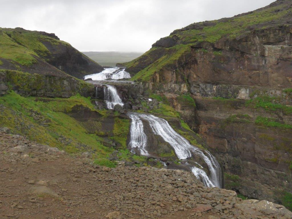
The main destination for today is the Glymur. It is a waterfall despite its name does not contain “foss” 🙂 The weather is not so great anymore (because it is our last day in Iceland? 🙂 ) – we get some rain as well.

We drive a bridge across a fjord and then to  Hvalfjordur fjord (wales fjord). Further we follow the coast to the end of the fjord and here the turn aside to reach in 3km a Glymur’s parking place.

Categories
Hiking

Snafellsnes peninsula

Snafellsnes peninsula looks like an elephants trunk that reaches far into ocean to the West. Snafellsnes and Westfjords peninsula together viewed recalls the animal jaws. Westfjords is the head and Snafellsnes – the lower jaw. We cross the neck of the animal for the beginning that connects Westfjords with the rest of Iceland.