Categories
Hiking

Cambre d’Aze

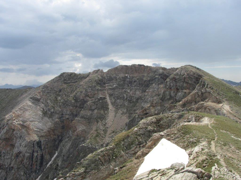
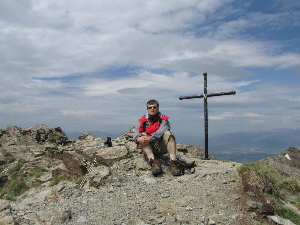
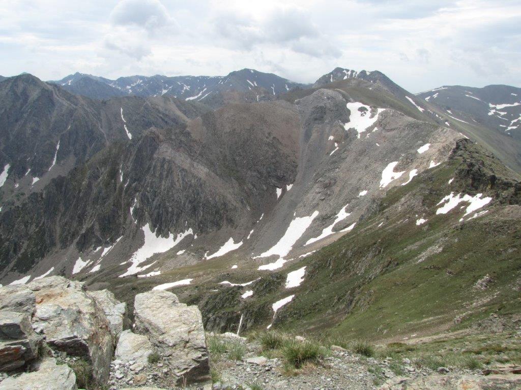
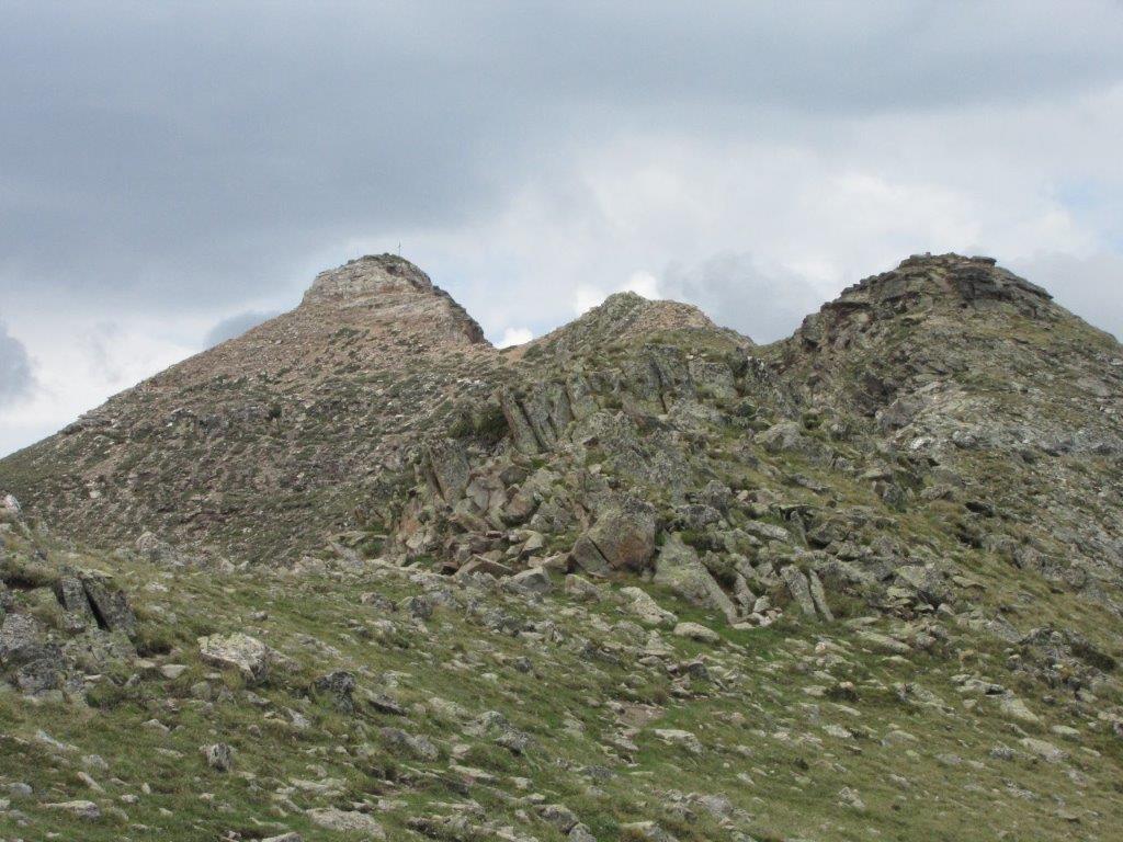
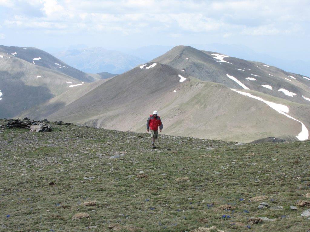
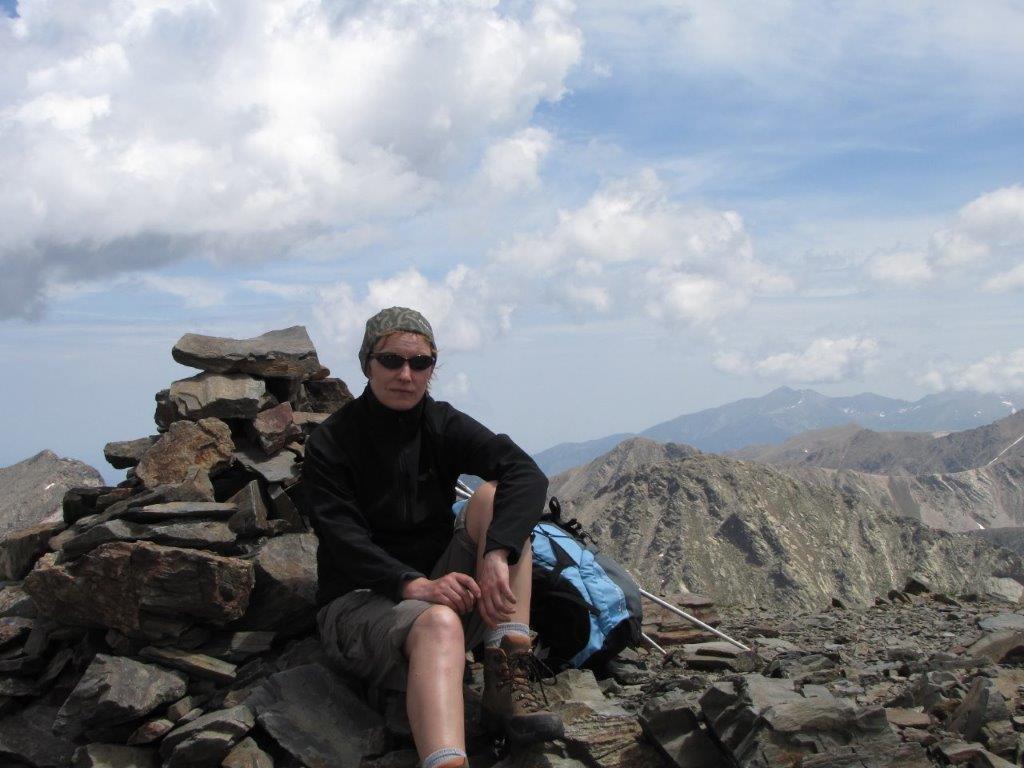
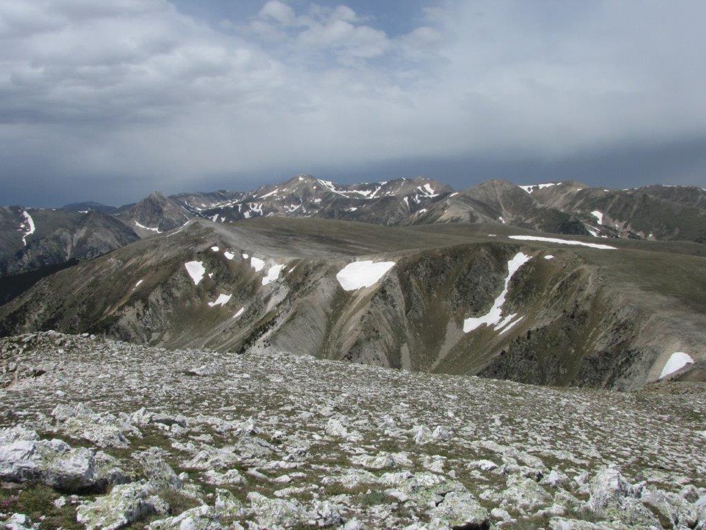
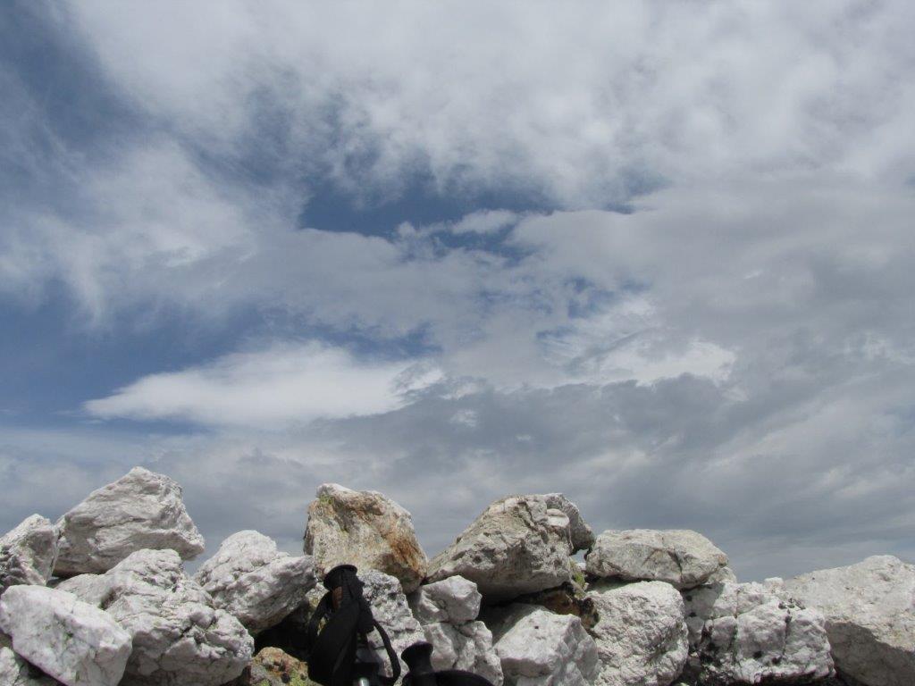
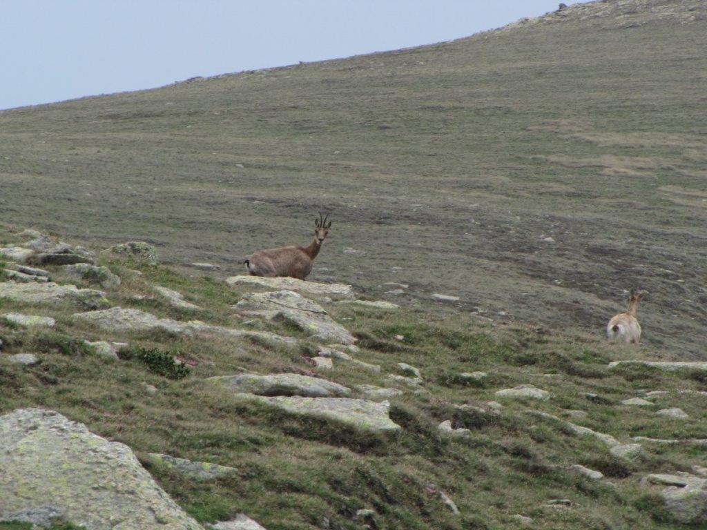
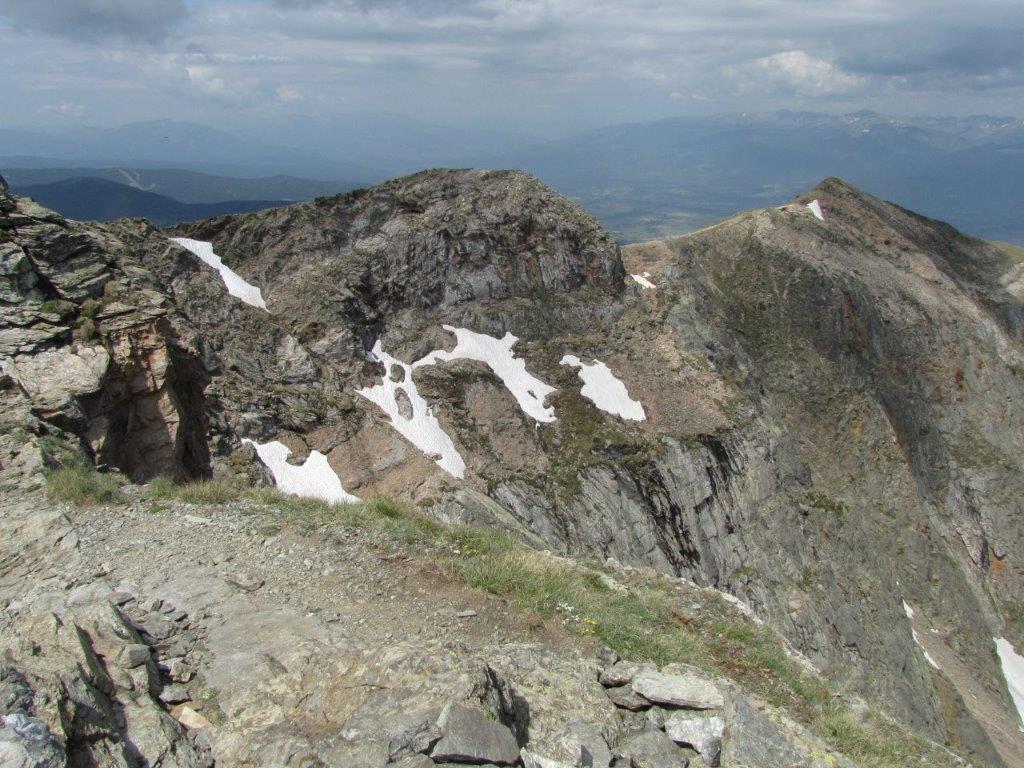
The destination for today is a 2750m high Cambre d’Aze (Donkey ridge). We drive to Mont-Louis again, then to village of Eyne and further on to Eine 2600 (ski resort). We leave the car in an empty parking place (the ski season has not started yet). There are no signs to the start of the track so we go ahead according to our map. After some effort we find the path that goes straight up the ski track. It is warm initially but as we ascend the cold wind starts to blow and dark clouds appear. We ascend the summit bu the mountain ridge. There is a gorgeous view from the top to Mont-Louis at the opposite side of the valley. We see a couple of large and beautiful lakes as well, Canigou and other summits. Some of the summits are in bright sunshine, others are covered with dark clouds..

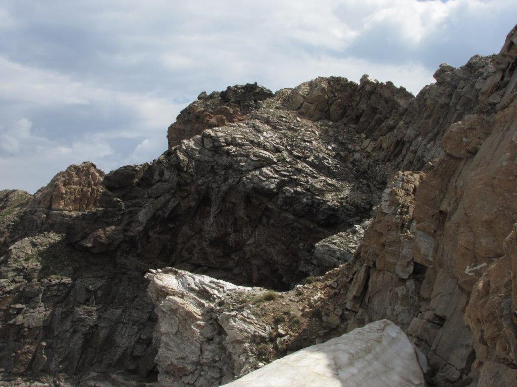
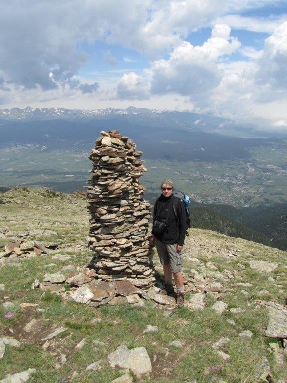
We select other path for the descent. It goes initially by the stony slope. It is hard to see the path itself – fortunately it is well marked with stone piles. Some of the piles are more than 2m high.
While driving back the rain falls cat and dogs. Still when we reach Vernet les Bains the rain has gone and the sun shines brightly again. We drop in at Internet café to check-in for the backward flight. Something goes wrong when we print the boarding passes. The attentive owner suggests not to move the mouse while printing. We follow the advice 🙂
Download file: Catalunia Cambre d'Aze.gpx
To the start
Next day
Categories
Hiking

Andorra

We decide to have a rest and to visit La Vella – the capital of Andorra. To get there we drive the road to Mont-Louis and further to Bourg-Madam and Puymorens pass. We select to drive the pass instead of the tunnel (to save the money). The mountain road ascends to 2400m above see level and then down to La Vella. La Vella is a little bit disappointment to us – everything here looks too commercialized – we even did not manage to find something like old part of the town. After a couple of hours spent here we go back.

To the start
Next day
Categories
Hiking

The summit of Noufont

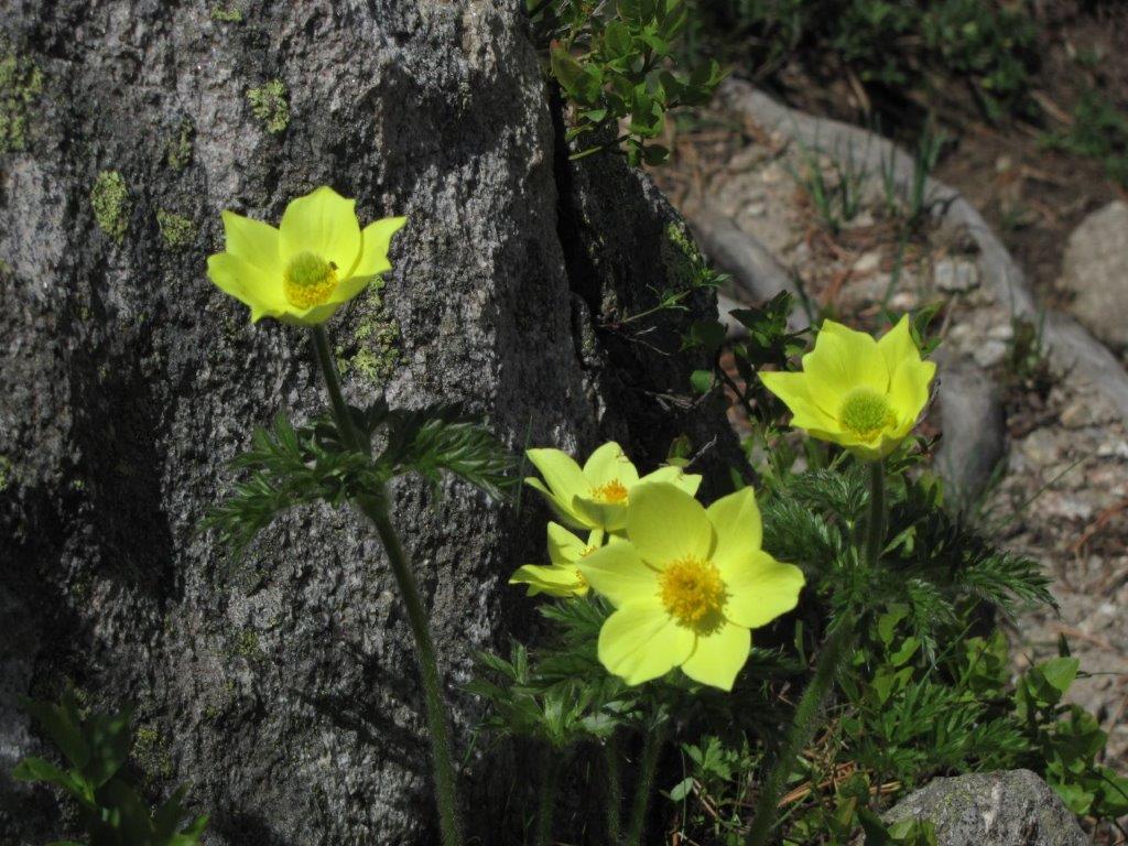
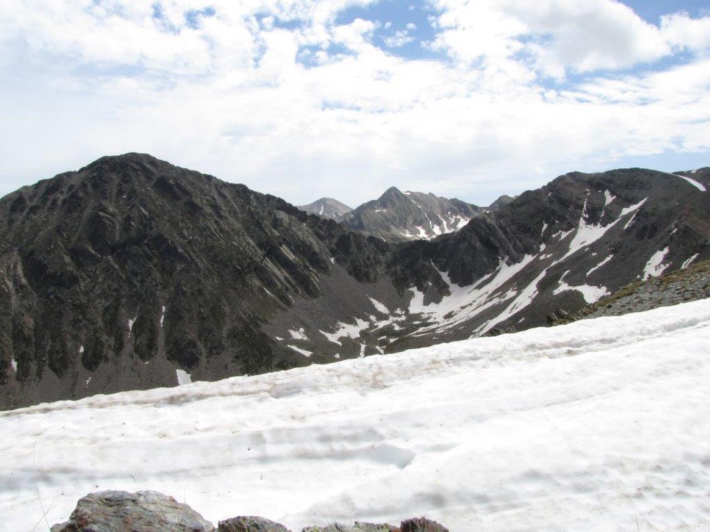
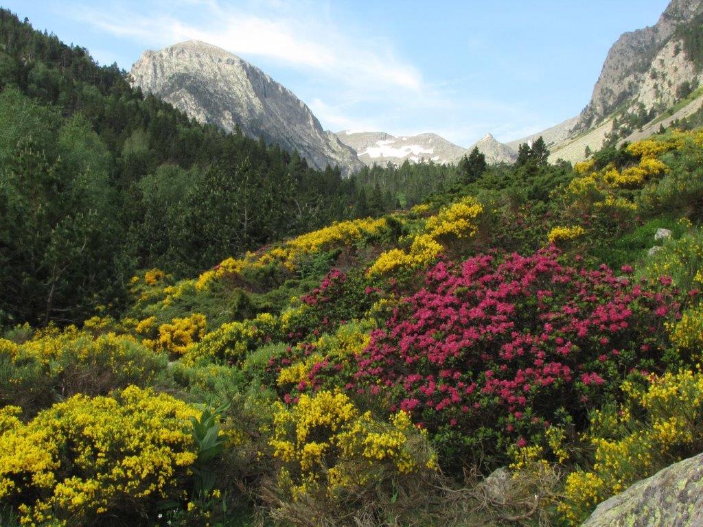
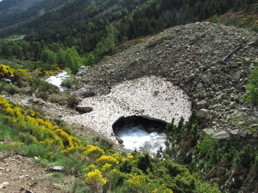
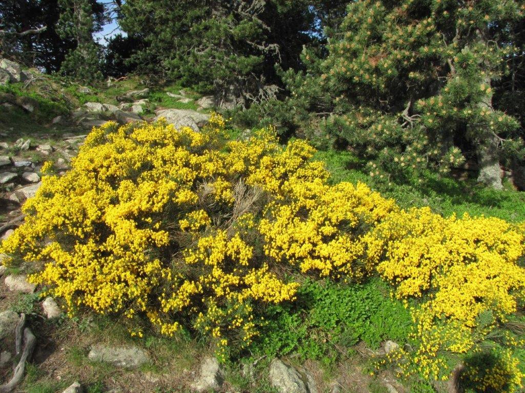
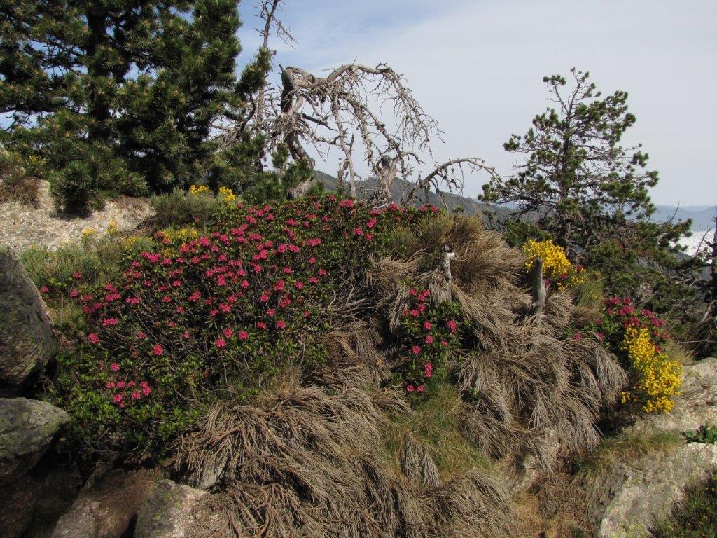
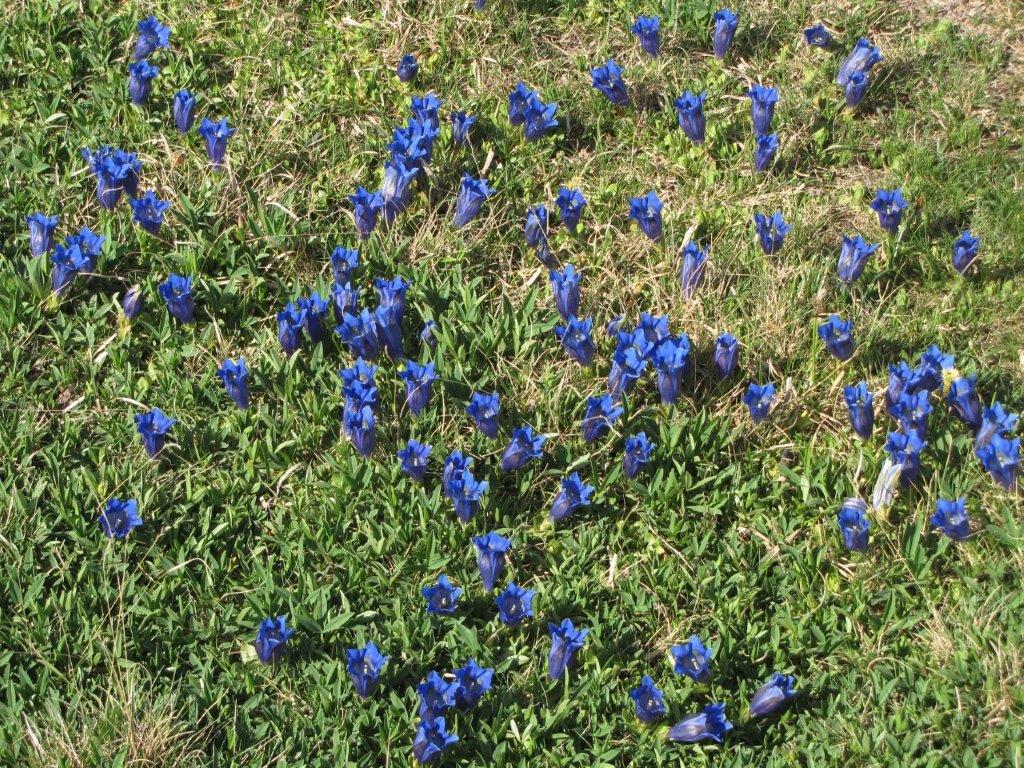
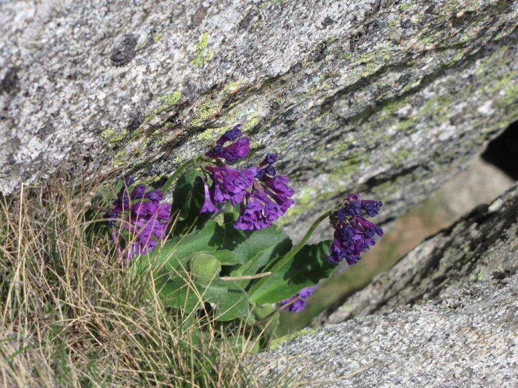
The route to the Noufont starts near the village of Prets-Balager. The last 5km of the road are terrible – we drive mostly on the first gear. We leave the car near the small lake. The path follows the mountain stream. The meadows are full of rhododendrons and other flowers in full blossoms. Higher on the slope we find as well the gentians – a bright blue bell shaped flowers. The marmots are here as well. Here and there we have to cross the piles of snow. There is a lot of snow on the Spanish side of Col de Noufont pass. This appears to us strange because this is the south side. Perhaps the shadow from other mountains is the reason.

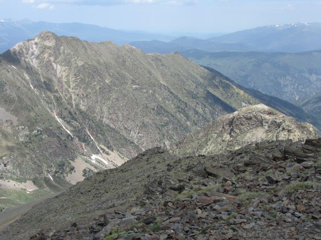
The last section of the path to Pic du Noufont follows a rather steep mountain ridge. We progress here slower but still manage to reach the top. The stunning views from the summit are a reward. The Canigou is one of the summits we see around.

The way down looks longer. The clouds accumulate high in the mountaints but the sun still brightly shines on out path. The rain starts only when we are already in the car.

Near town of Font-Pedroso we notice the Train Jaune passing by. We stop by the bridge to make some shots. We are not the only ones 🙂
Download file: Catalunia Pic du Noufont.gpx
To the start
Next day
Categories
Hiking

Mont-Louis, Port Liberia, Villefranche de Conflent

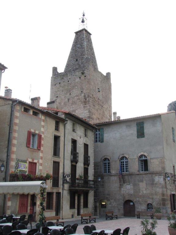
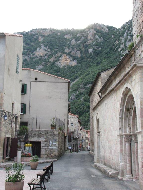
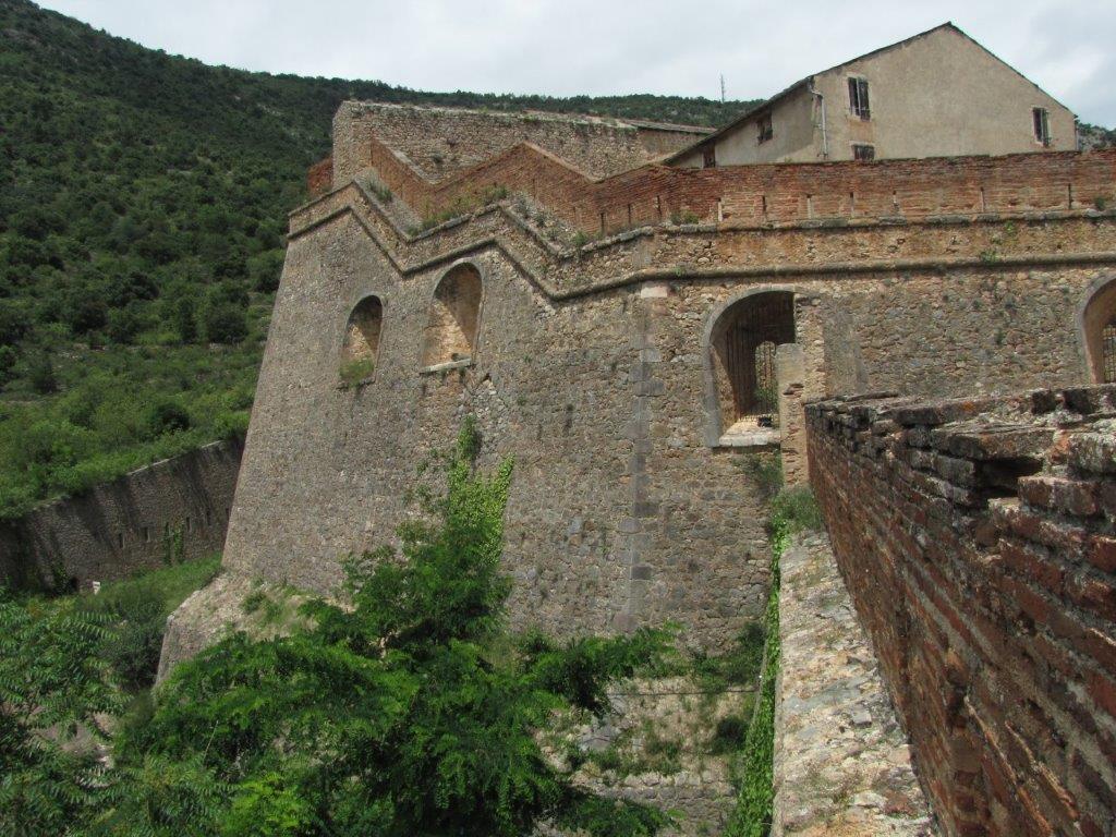
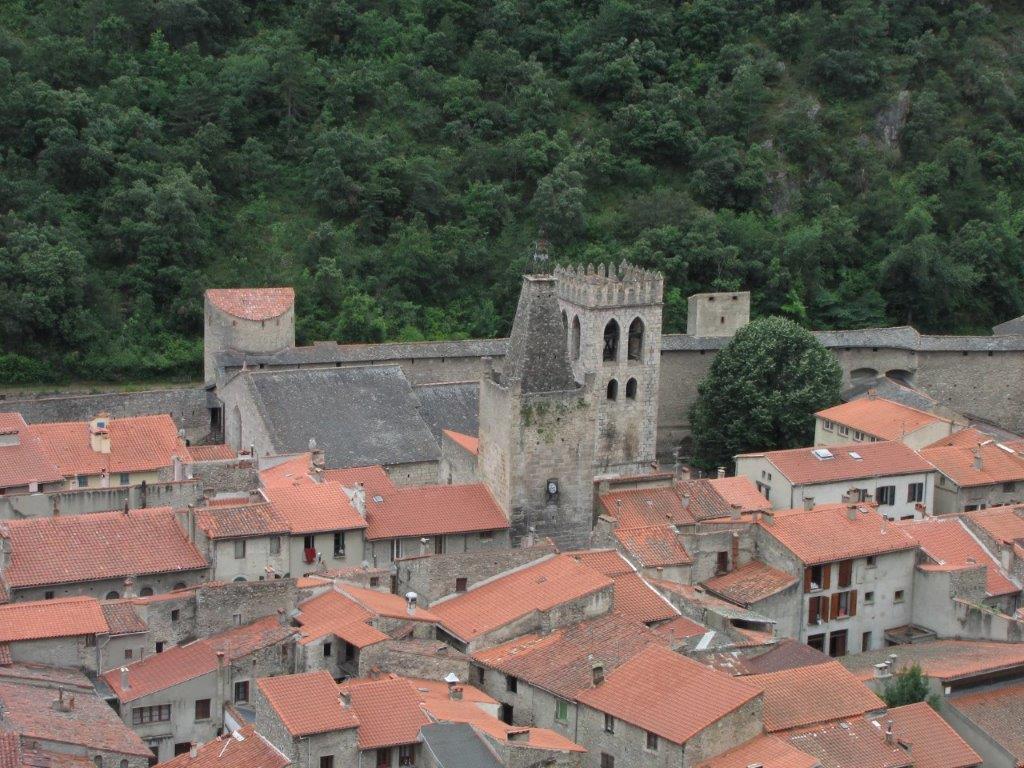
First thing in the morning we drive to the beautiful Villefranche de Conflent. This medieval fortified town is one of the three (the other ones being the Canigou mountain and the Canigou St. Martins abbey) main tourist attractions in French East Pyrenees. We arrive at nine in the morning to find out that the Port Liberia stronghold above the town is open for tourists only from 10am. Instead of waiting we decide to go for another stronghold – Mont-Louis. While on the way to the car a magpie (obviously the favorite of the tourists) vigorously asked our attention. It managed even to land on the top of my backpack. A moment later we witness the fight between our magpie and a pigeon.

Mont-Louis is some 40km away on the road to Andorra. A tourist favored Train Jaune (a yellow train) route goes next to the road. The train route is closed temporally and should be opened any day. We have it in our plans.

Mont-Louis is an impressive stronghold with a thick walls. There is a French army base at the further end of the fortress. The walls are used to exercise the soldier in climbing. We stroll round the walls (this takes a time) and then drive back to Villefranche de Conflent.

There we cross the bridge over the stream, then the route of the Traine Jaune and then ascend the path to the Port Liberia.

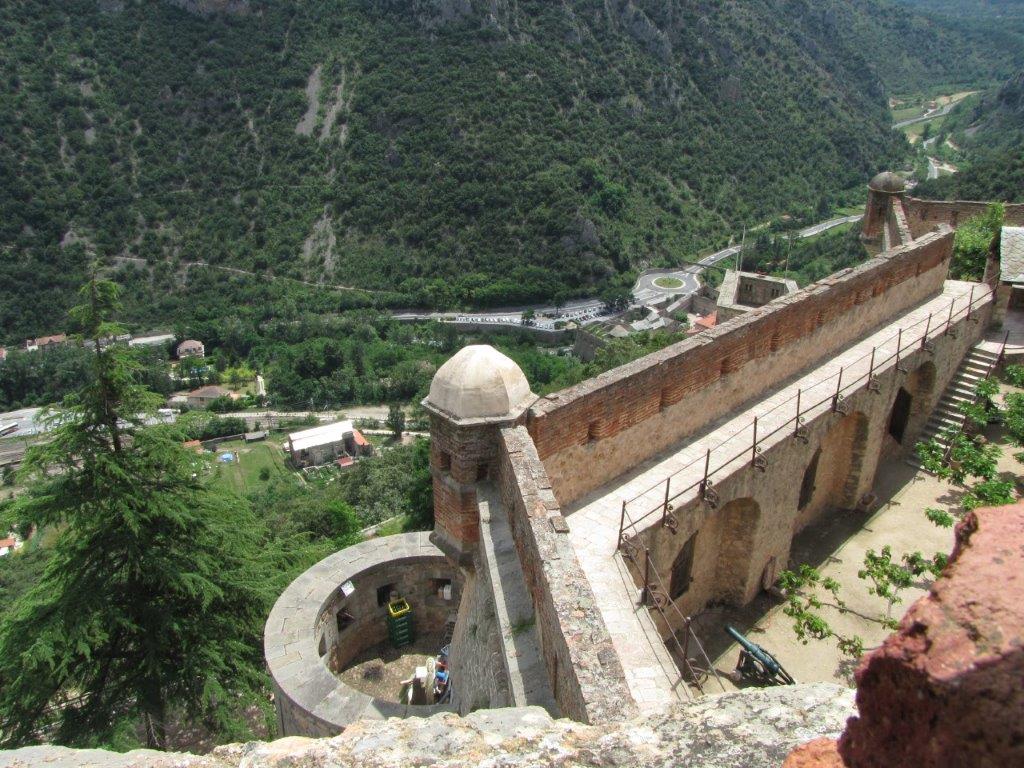
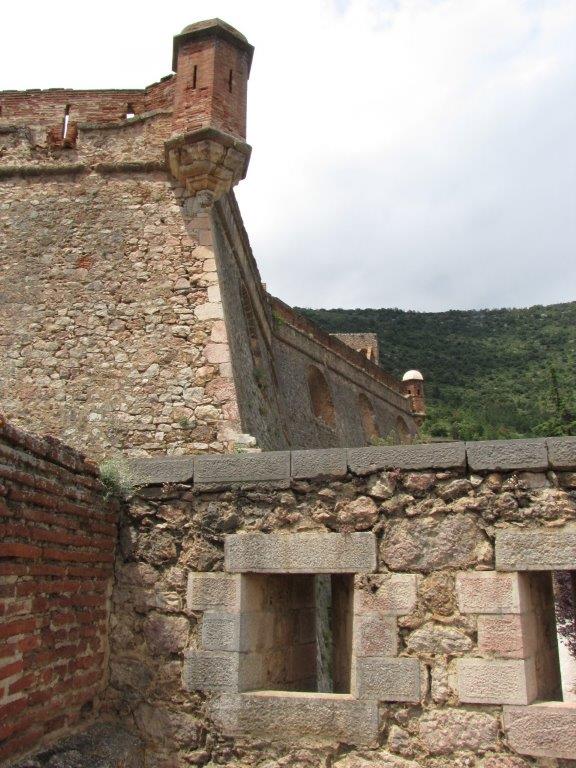
It is hot and we reach the stronghold exhausted and dripping with sweet. We purchase the ticket and go to look inside the fortress. The fortress is on the mountain slope and is designed to protect the defenders against the attack from above. To protect the walls from the canons that might be positioned high on the mountain slope, the fortress is shaped like a ship with it’s sharp bow towards the mountain. Vauban (the builder of this and a number of other fortresses in Pyrenees) suggested that the canon balls should thus do less damage to the walls. The walls as well were designed with the attack from the above in mind. There are 3 stories of galleries in the walls. All three have rows of loop holes and ventilation holes above them (to clear the gallery from the toxic powder. All three stories are covered by the thick stone ceiling.

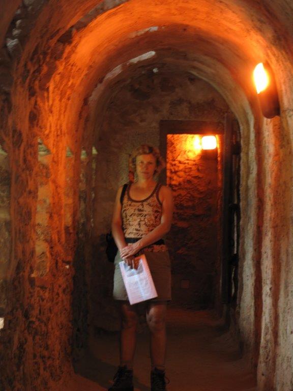
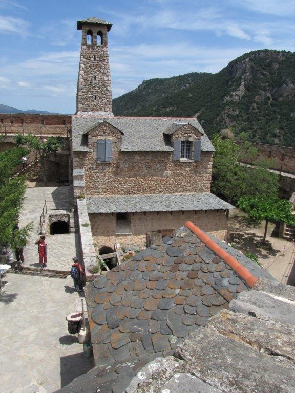
Inside the stronghold there is a number of buildings. This includes the tank to collect the water and the prison. Te king of France have imprisoned here a couple of noble women. Two of the prisoners have spent here more than 30 years until their death. We descend to the Villefranche by the 700 marble stairs of the subterranean staircase. The tunnel is carved in the rocks to help the citizens of Villefranche escape to the fortress in case if the enemy invades the town.

To the start
Next day
Categories
Hiking

Roc Colom

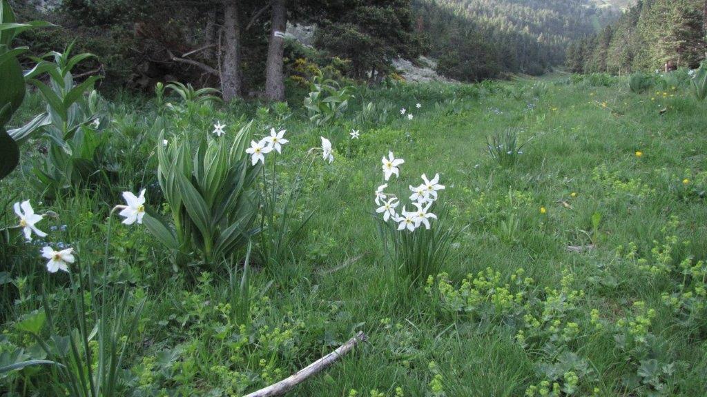
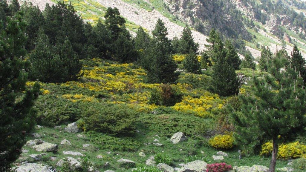
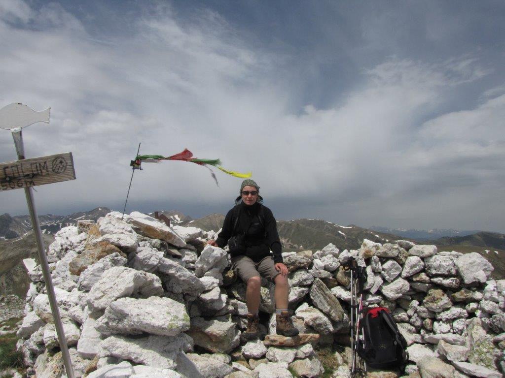
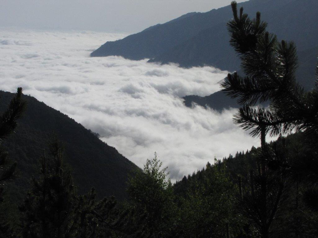
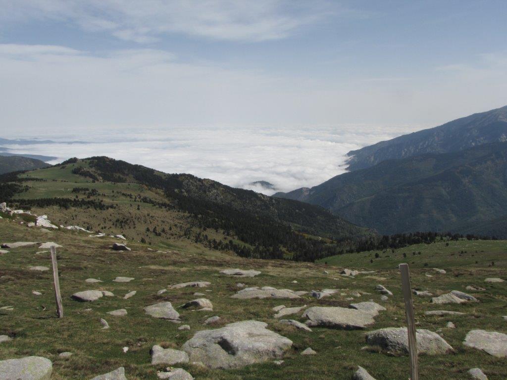
We wake up at 6am and drive to the Col de Mantet pass (1780m).  Below us are the clouds, but on the pass the sun shines on it’s full. We go through beautiful pine wood, then meadows full of flowers, till the Spanish border. We manage to miss the Roc Colom (2508m) summit initially. We discover that the summit is already behind us and turn round to ascend it. There is a strong wind and a little bit rains, we have a hail as well. We are lucky enough to find that there is a stone maid wall on the summit that shields us from the wind at least. After a short break we descend by the same path.

Download file: Catalunia Roc Colom.gpx
To the start
Next day