Categories
Hiking

Pic du Lurien

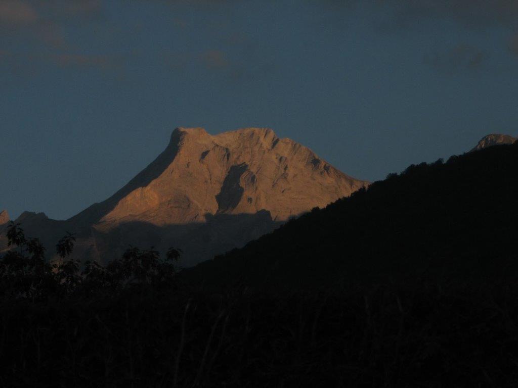
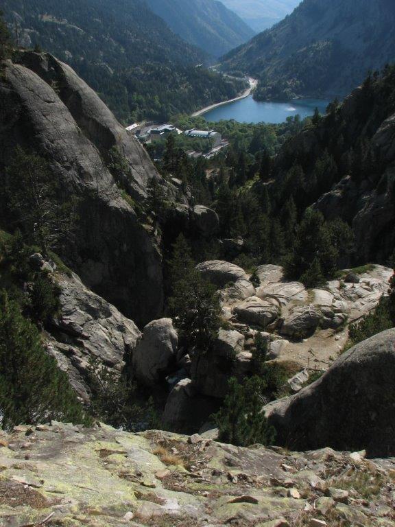
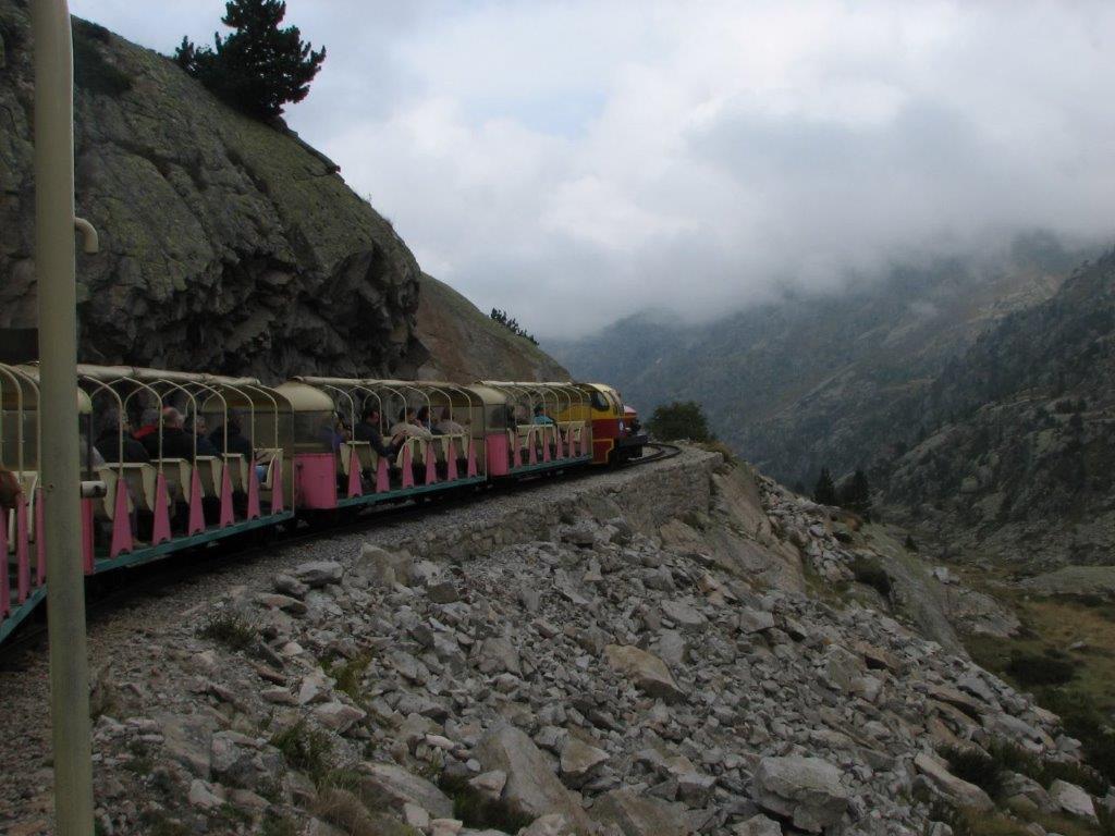
Our day starts at 6:30am. We drive to lake Fabreges. Here is the cable car that takes us to the tourist train Petit train de Artouste. It pretends to be the highest train in Europe. Still our plan today is to climb from the lake 1600m up to Saint Lurien summit (2826m) and then down to the lake Artouste where the train track ends.

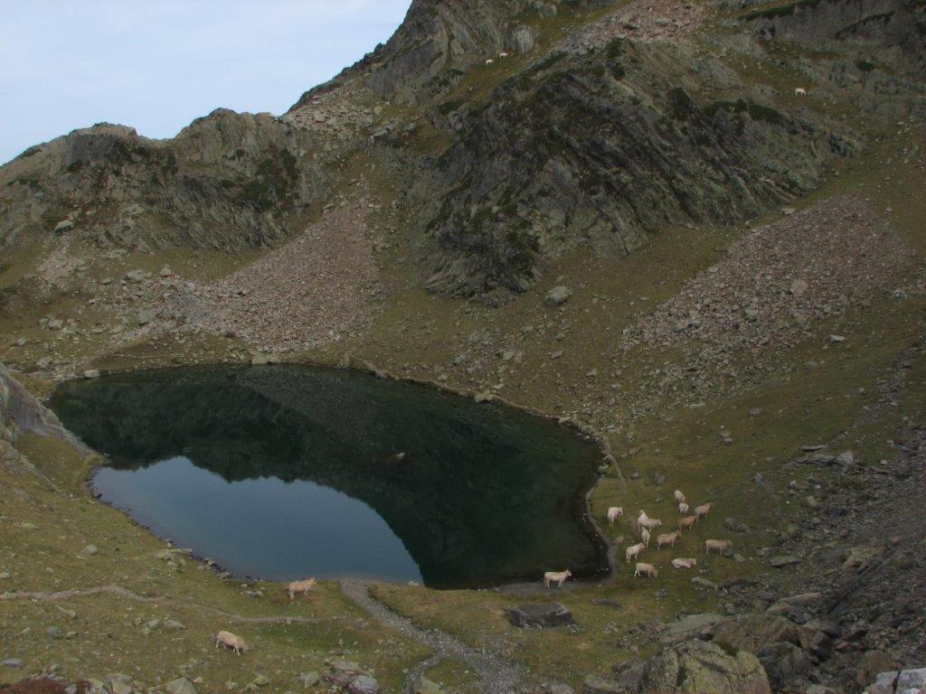
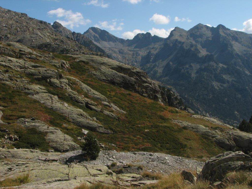
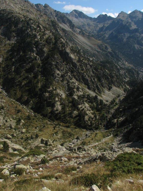
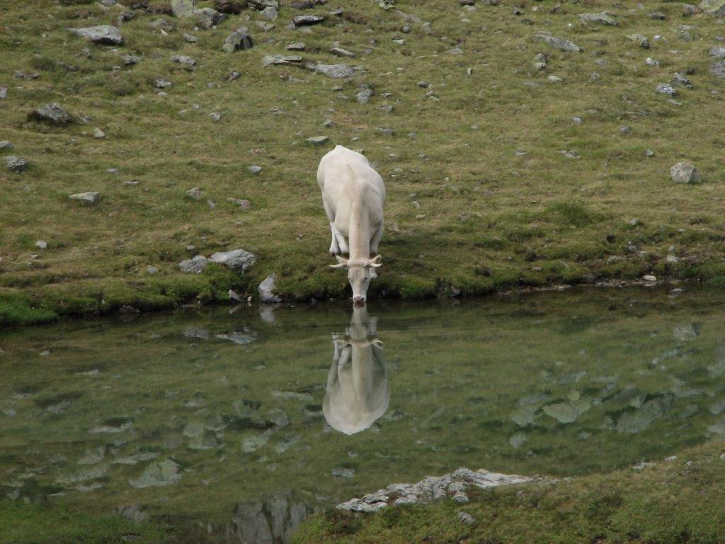
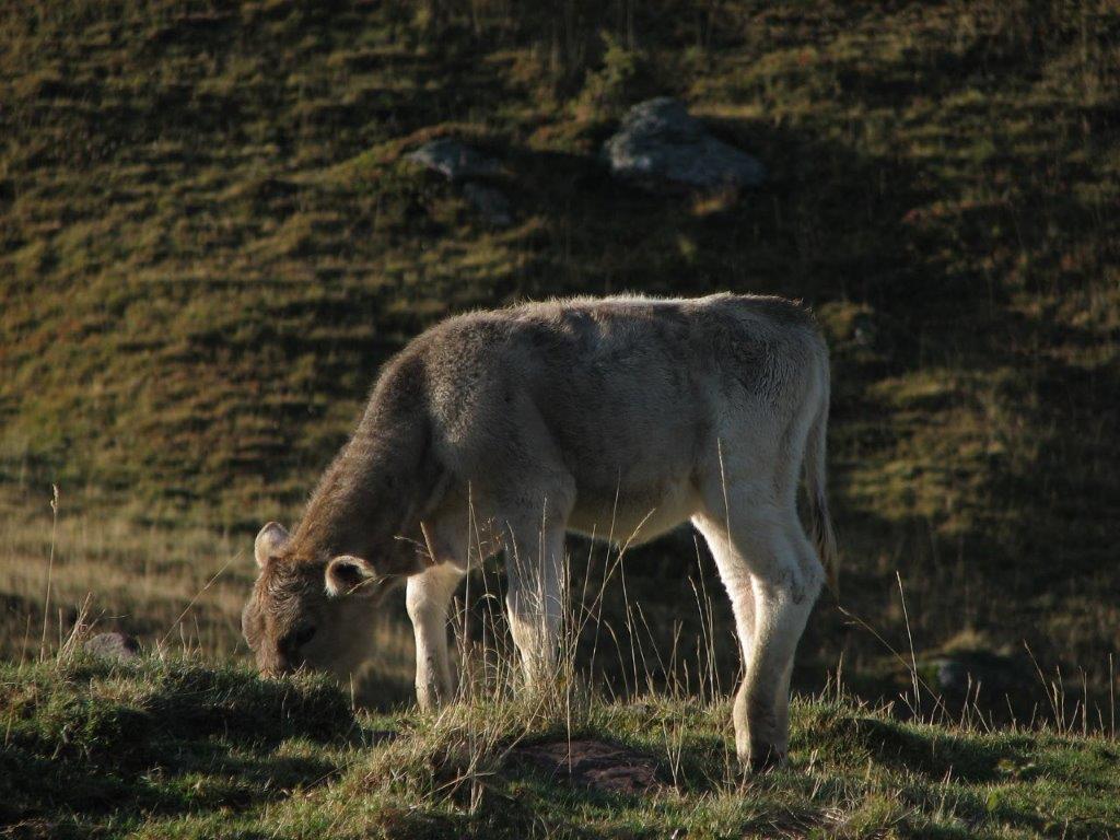
We leave the car at the base of the cable car track and walk by the lake to the start of the path. We find it after a km walk and about 9am start to ascend at the level of 1200m. The path goes steeply up through a pine wood which ends at 1600m. Further on we go across the meadow up to the lake. The herd of cows pastures here. The cows are all around – by the lake and high up the hills in between the rocks. Looks idyllic.

Nearby we see a couple of cow’s skeletons and a one half eaten specimen – a natural landscape. Perhaps it happens that a cow falls down from the rocks?

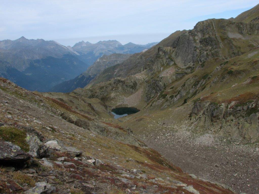
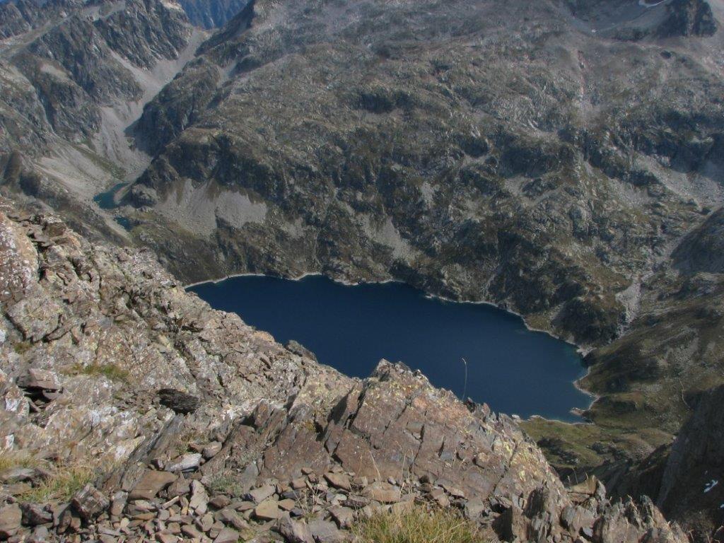
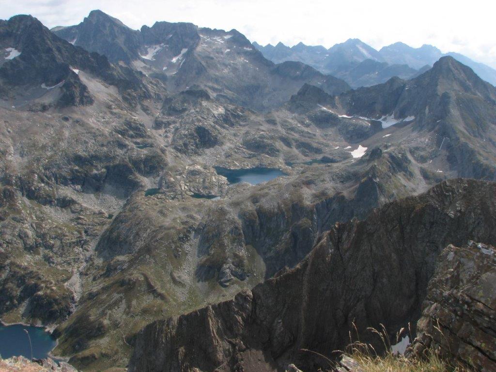
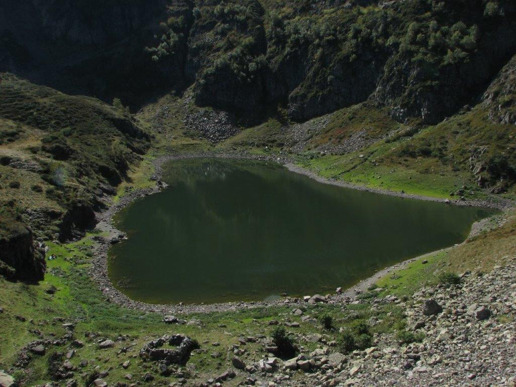
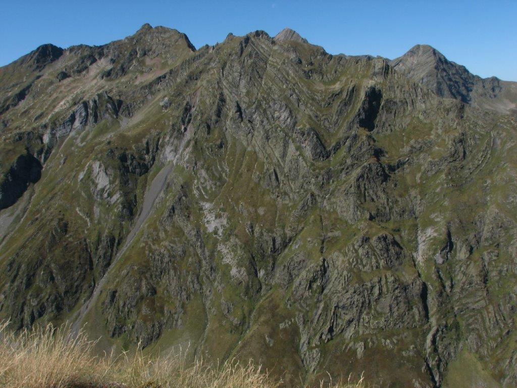
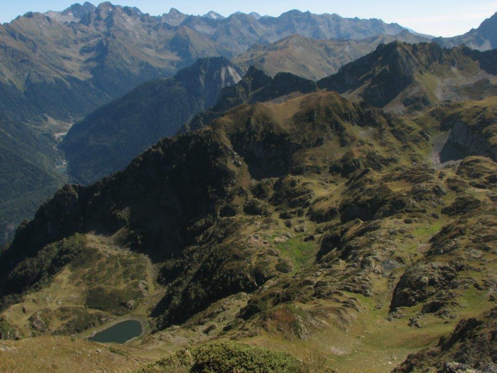
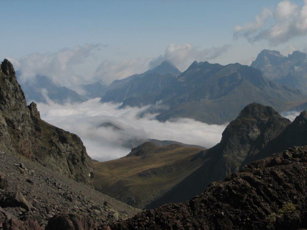
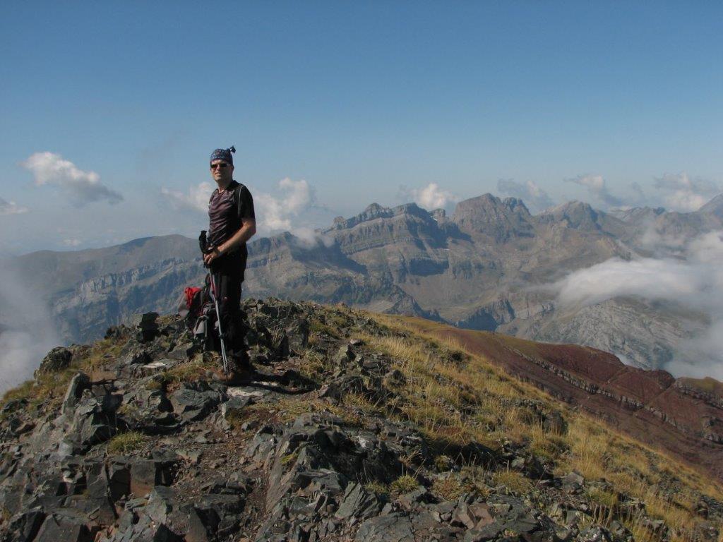
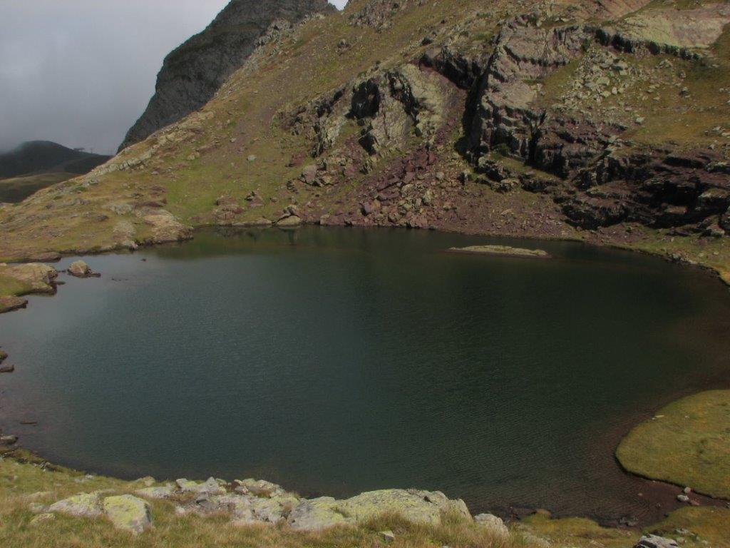
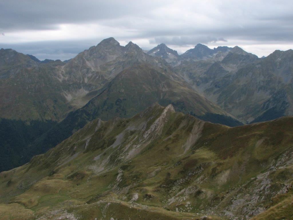
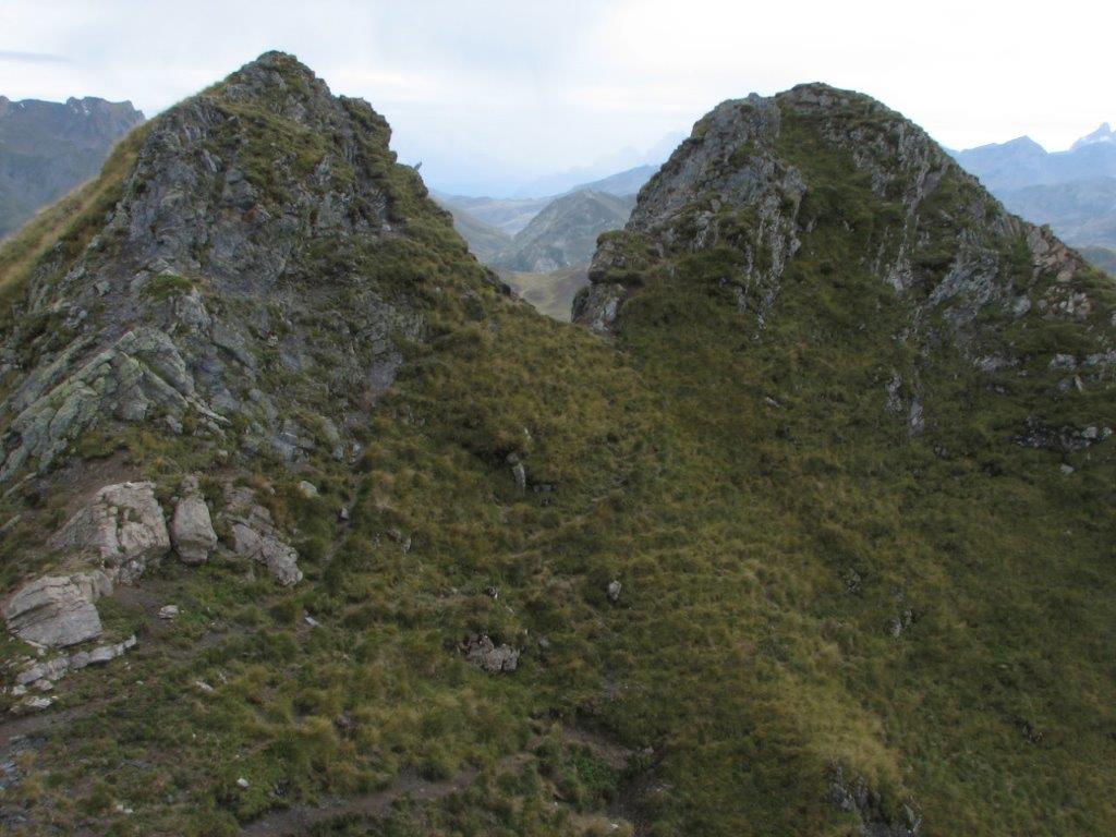
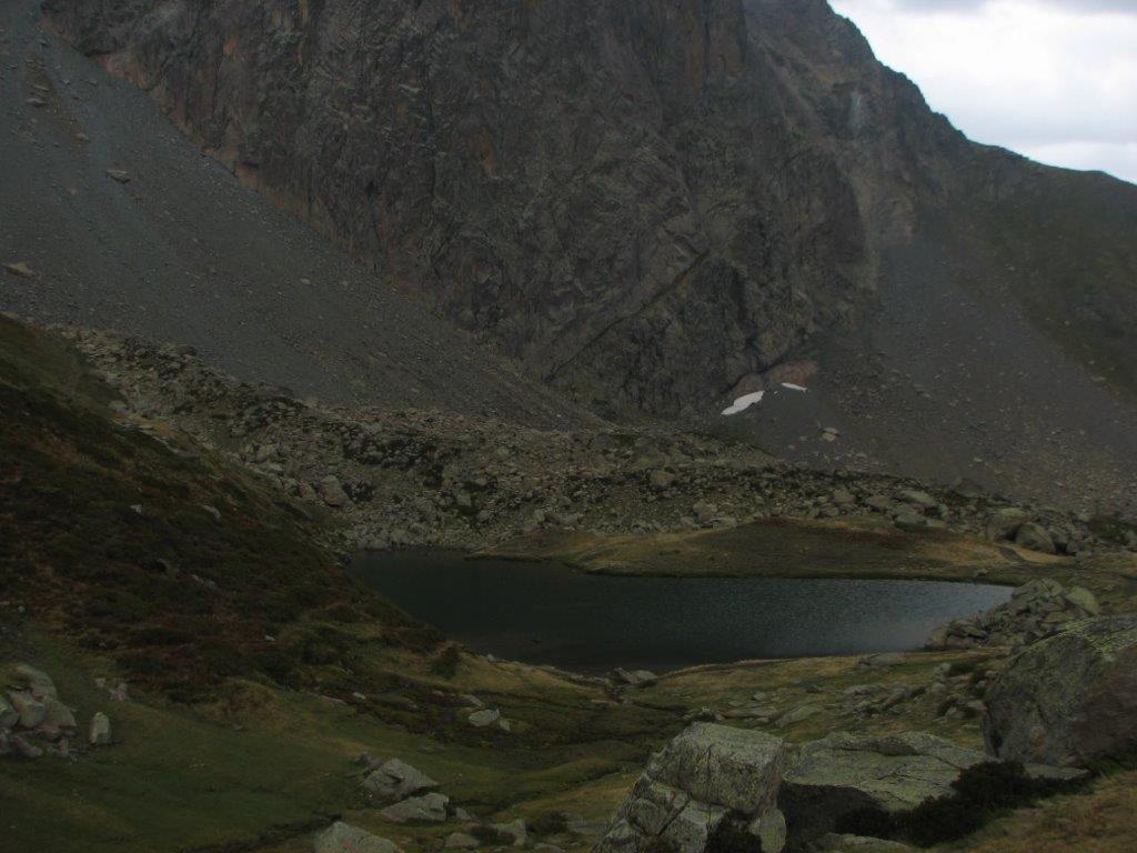
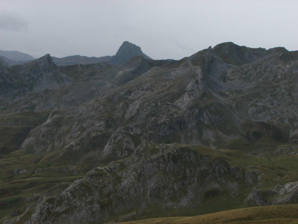
We proceed to  Lac du Lurien and to the pass of the same name (2250m). At the pass we take a rest and then by the stony/rocky path climb to the summit Pic du Lurien. Several times we have move on all fours. The last stage to the summit goes by the mountain ridge (an easy path as the guidebook tells – still some of have a different point of view). Still we make it to the summit and does not regret that. A gorgeous view on the lake Artouste and several other lakes and mountains around from the summit.

A quick snack here and we proceed to the Lurien pass and further to lake Artouste. Looking from the pass lake seems at a close range. Still we spend more than hour until we are there. The last part of the track we have to hurry up to catch the train at 4:15pm.

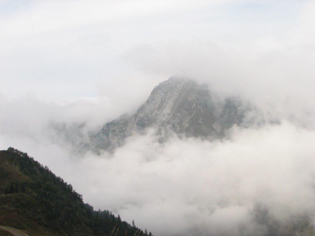
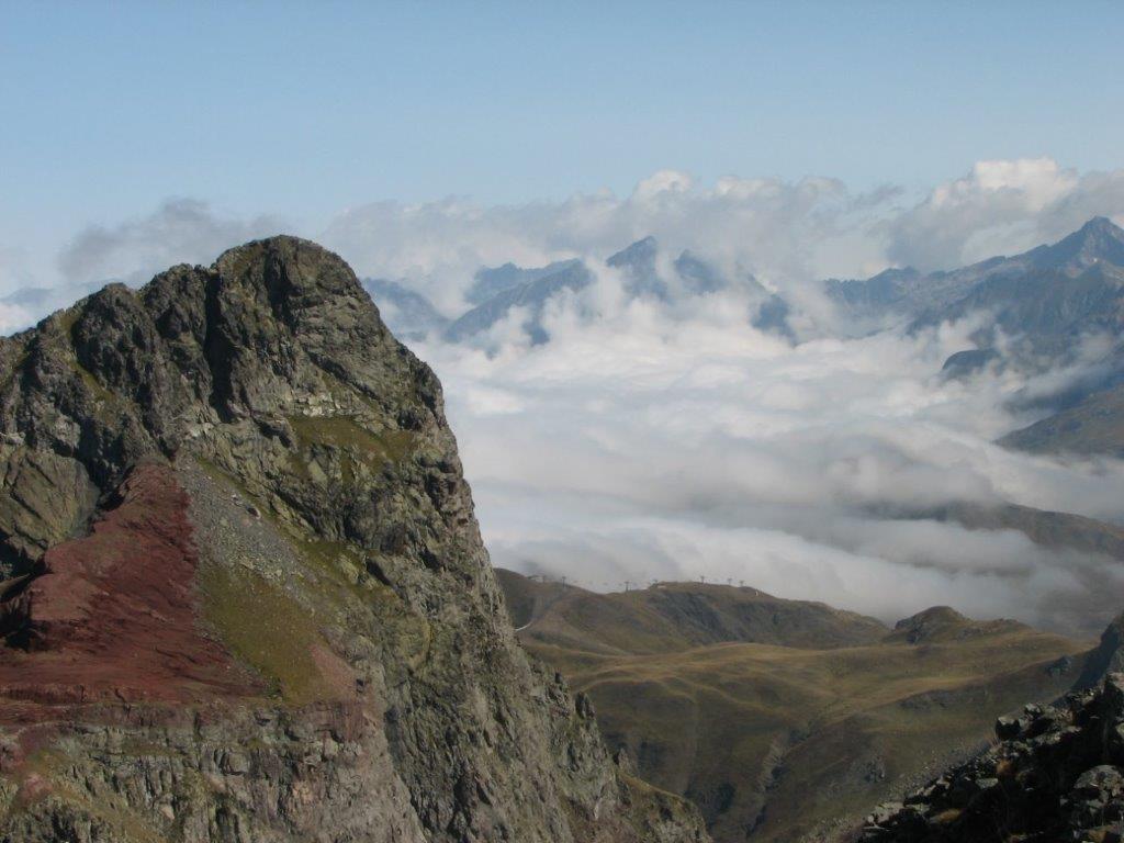
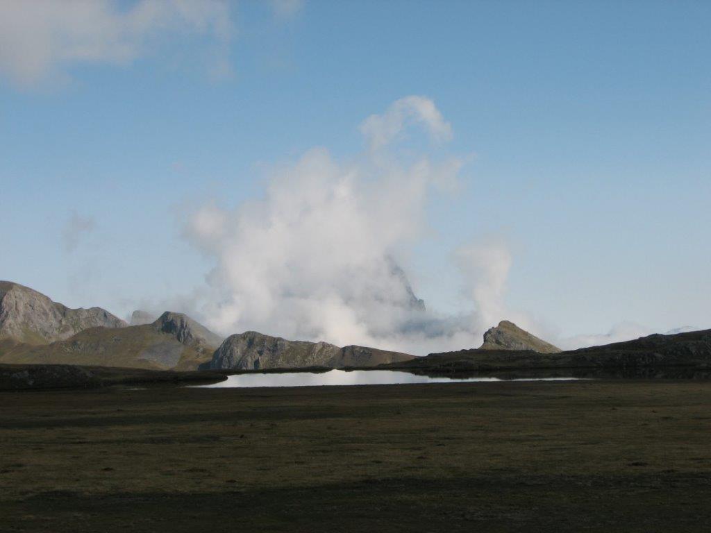
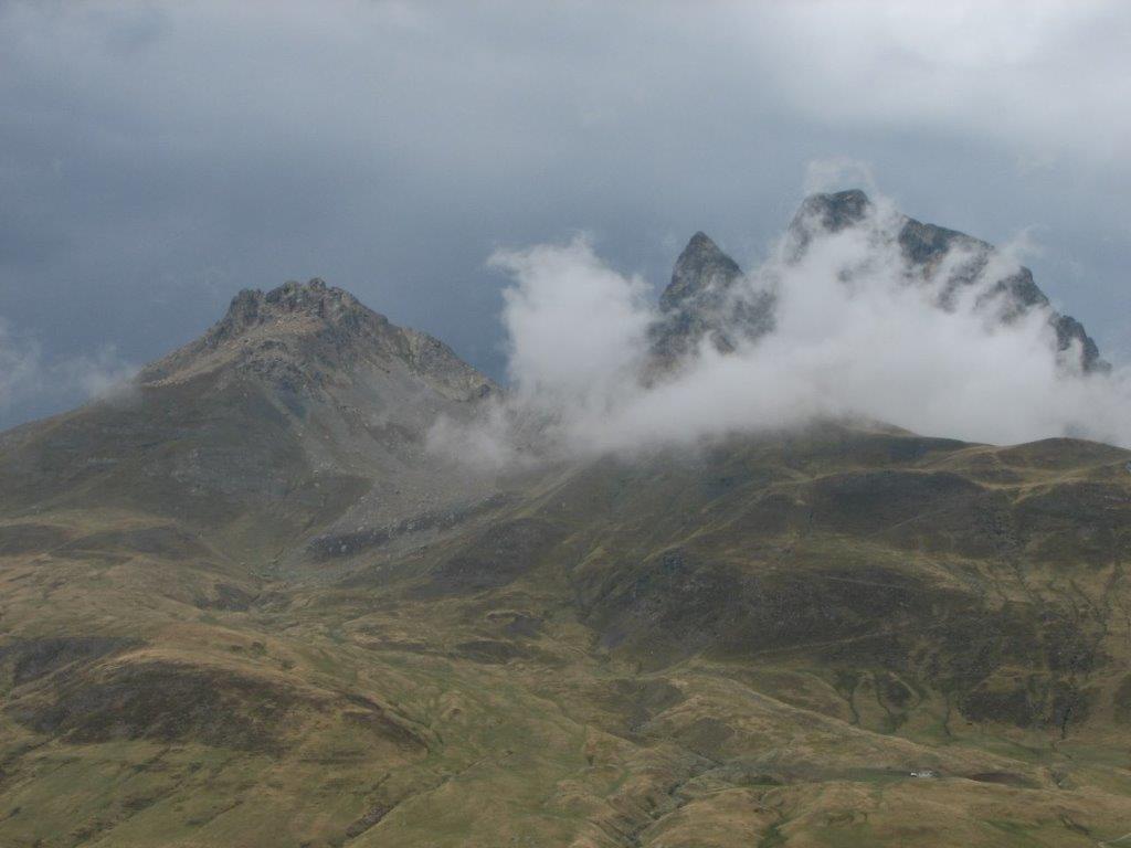
While we descend the summits get gradually covered by clouds. When the train starts its way the clouds have reached us. A chilling wind blows and the train carriages ar of the open type 🙁

It is warmer at the lake Fabreges though. We have a coffe, tee and tarts (apple and bilberry) at the café. Delicious!
To the start
Next day
Categories
Hiking

Pic d’Er

The trip starts by the tiny parking place 2km before village Gabas. We cross the road, sneak in the wood and climb the path uphill right through the bushes full of sweet blackberries. Marking the fact for later use 🙂 we proceed uphill by the path that runs through the wood – covered here with stones and there with fallen leaves of beech. After a couple of hour hike we get out of the wood in a small meadow, then again through the wood we walk round the hill to Lac d’Er.

Getting at the lake we take a rest on the small hill near the lake. After having enough rest we proceed to the summit. It appears to be not obvious which is the right summit. We walk partly by the path and partly just in sort of right direction across the meadow. Then we notice the group of people having a rest on the summit above us and direct our way right to them. To our great pleasure this appears to be Pic d’Er. The last stage of the path follows the mountain ridge – not a big surprise.

While we discover the summit a group of French people join us. After some smalltalk (“where are you from” type) we start to descend. Initially we let them go ahead of us but on a halfway down we outrun them and get the approving comments – obviously on our downhill techniques 🙂

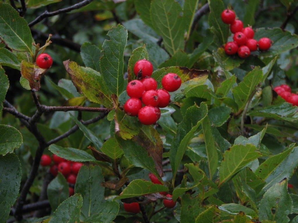
Having reached the blackberries we accomplish our trip-long dream 🙂 They are delicious!
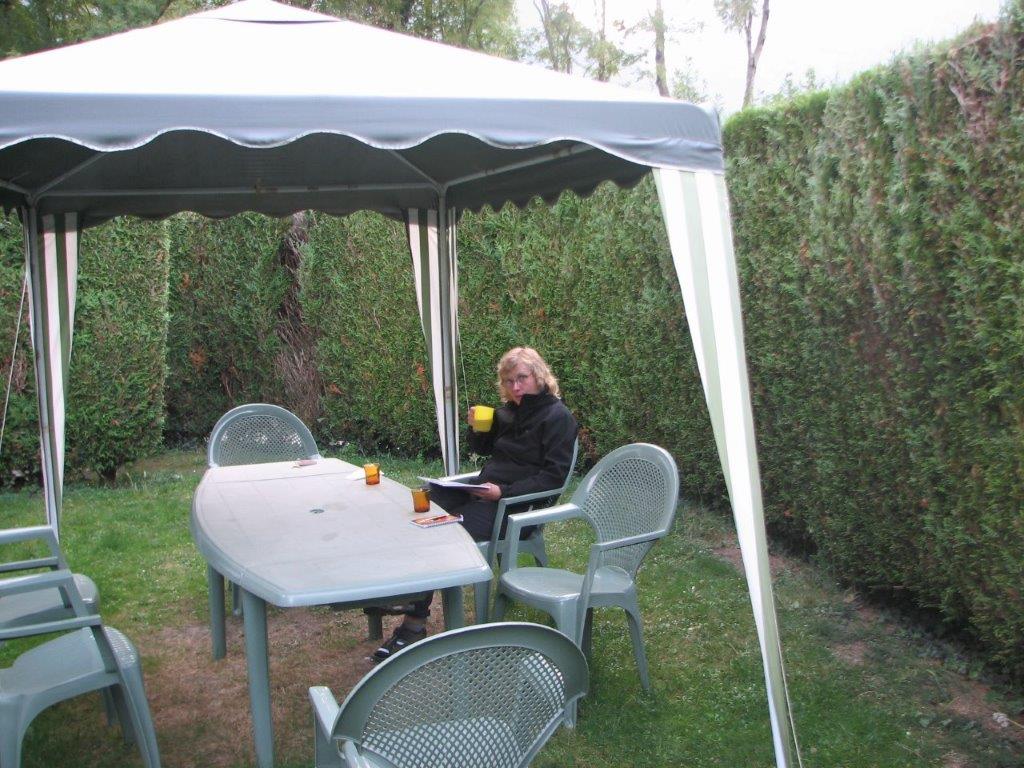
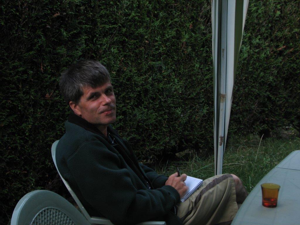
We finish the day in our outdoor rest place with a cider and a mountain view…

To the start
Next day
Categories
Hiking

Puerto de Marcadou

We wake up at 7am and check out of the hotel. We drive again to Formigal. On the Spanish border we get stopped by the patrol – a group of men with machine guns and masks. Apparently we are not the ones they are searching for so we are allowed to drive further.

We drive through the Formigal and find a car park near the hillside. I try to talk with a Spanish hiker. He doesn’t speak English, me – Spanish. Since I suspect that the summit we se in front of us might need a special tools like ropes. My suspicion gets supported by the two other hikers. One of them speaks some English. So we switch to plan B – Banos de Panticosa. This is a spa resort near the French border. Banos de Panticosa is surrounded by high mountains from three directions. The fourth is where the road comes in. The sunbeams touch the resort only a couple of hours around the noon. Currently the resort is very quiet – only the workers do their job to prepare everything for the high season.

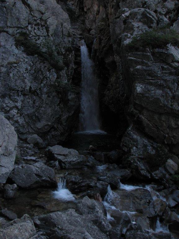
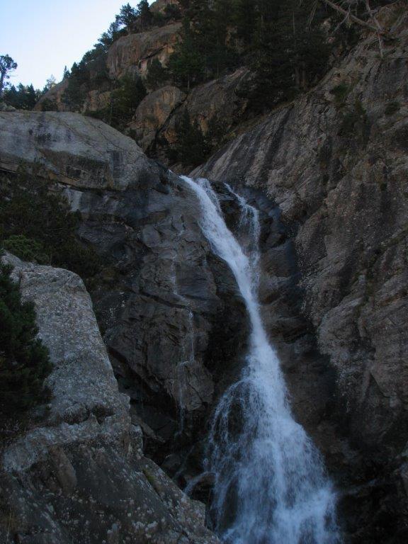
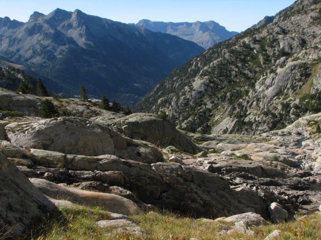
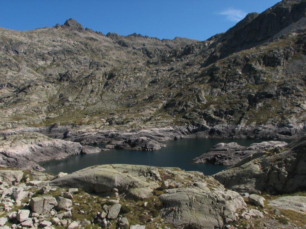
Nobody gets in the resort with a car (except somebody with a right permit). We leave the car by the road in front of the post and move further by foot. First we have to pass the lake, then through the resort, then we find the path and climb uphill. The path is stony and steep, nevertheless broad and safe. When we have elevated above the village we get the picturesque sights on the lake and mountains across. We follow a quick stream Caldares de Banos with waterfalls here and there. Further uphill we have sights of reservoir – Embalse de Bachimana Alto. It looks strange – like lake with half water let out. We can see that the level of the water happens to be some ten or more meters higher.

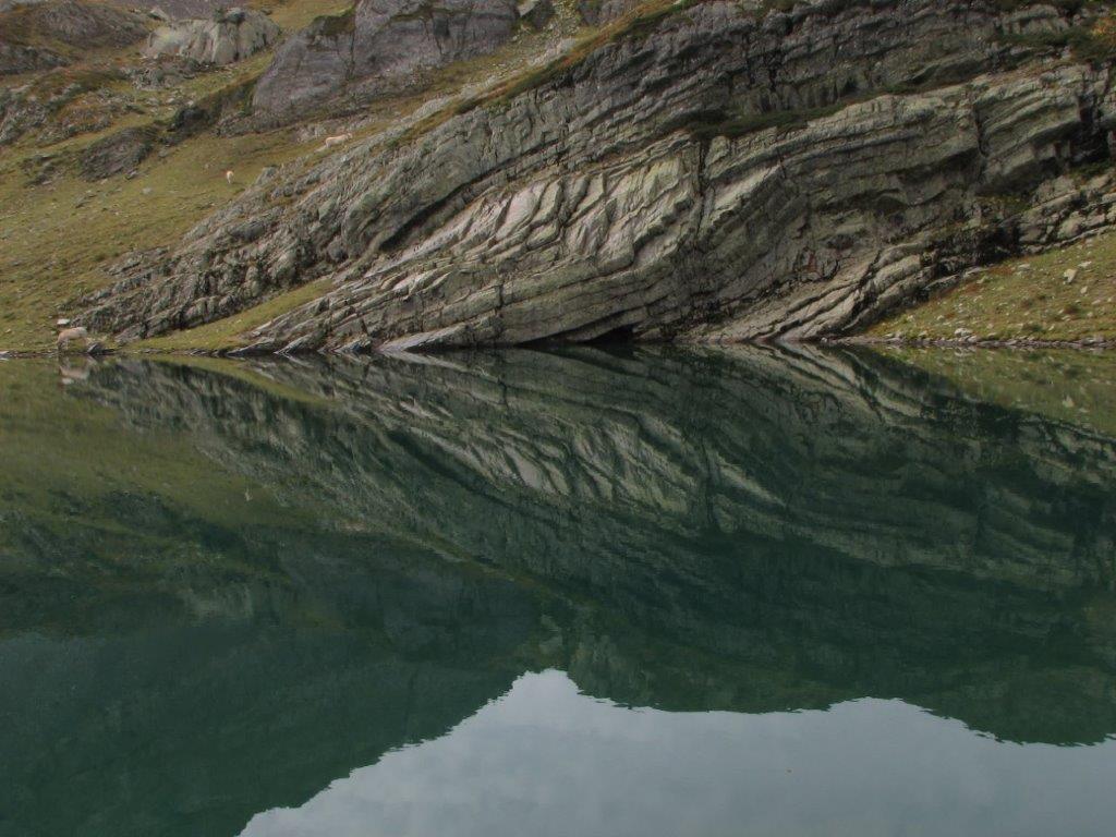
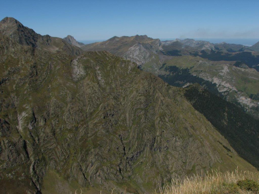
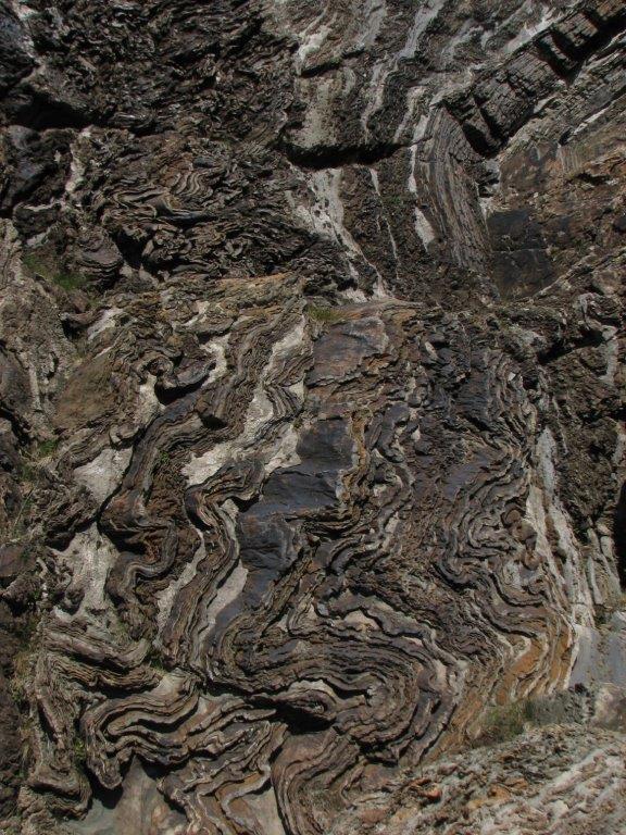
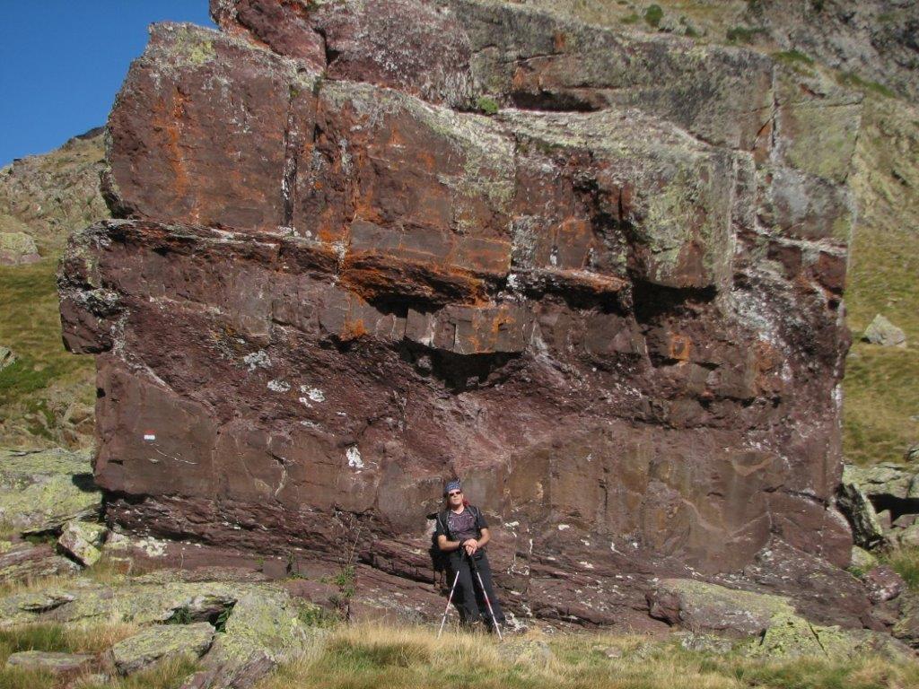
We pass by the lake’s left side and climb uphill to the French border – to the pass to Marcadou valley (Puerto de Marcadou). There are interesting layered layered rocks on our way.  The pass seems not enough though – we proceed  to the summit on the left from the pass. There we have a short break and then descend the same way. On the way down we nibble with the wild (mountain?) raspberies.

On 5pm we jump in the car and drive to Laruns – to our camping apartment. It has two bedrooms, kitchen, shower room, toilet, and a place outside the building (rounded by 3m high hedgegrow). After we have moved in we drive to the town center for shopping. Still we do net realize that we will need something to light the gas range on. This we foind out when all the shops are closed. I drive to the town again to obtain a fire 🙂 Thanks to a kindness of the owner of the vine store I get the lighter. That’s cool!
To the start
Next day
Categories
Hiking

Vertice d’Anayet

We get up at 7:15am, take a French breakfast and drive to Coral de las Mulas – a sky resort some 10km deep in Spain. A road branch to the resort is barred by the gate. We see the other drivers stop by the gate, open the gate and drive further. We decide to leave the car by the gate and to proceed on foot. The resort is being prepared for the high season – the giant parking place is empty.

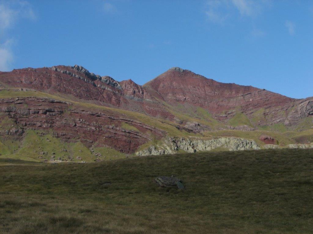
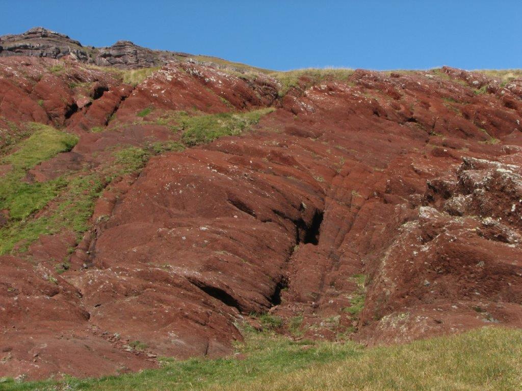
The weather is sunny but a strong wind blows. Behind the resort the stony path leads us up by the hillside. The mountains and the rocks are violet (they remind us the rocks in Corsica). We climb lakes of Anayet for the start. The lakes are sort of shrinked – one can see that they use to be considerably larger (when lot of snow melts, perhaps). Still they use to dry up totally. Next we climb to the pass and to the summit (Vertice d’Anayet). From the pass to the summit we follow the  crest. There is a perfect view from the summit – Pic du Midi wrapped in clouds, the valleys full with white clouds.

Six French tourists climb the summit after us. They have a glass bottle of pink wine and wine glasses and they do use them on the summit 🙂 On a way down they ask us to join – to be sure we will not push accidentally the stones on their heads.

When back to the car we drive a little bit more to the South – till the town of Formigal. The town looks sort of empty as well. we have a lunch in a bar and then drive back to our hotel on a French boarder. The pass is covered with clouds.

To the start
Next day
Categories
Hiking

Pic Saubiste

At 9am on Thursday 18th September 2008 we land in Pau airport, get a Chevrolet Matiz and drive to the Spanish boarder – to Pourtalet pass (Col du Pourtalet).

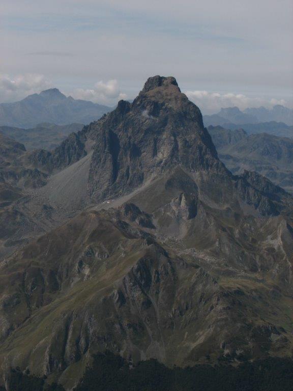
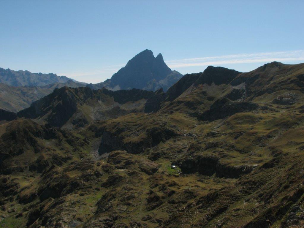
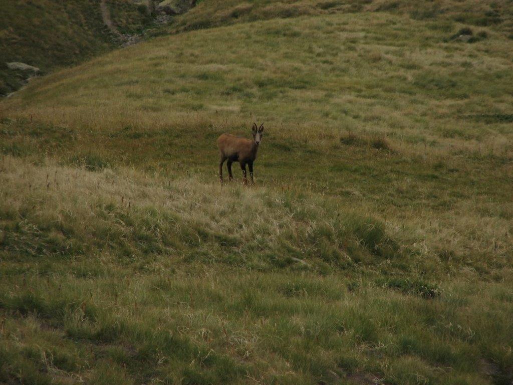
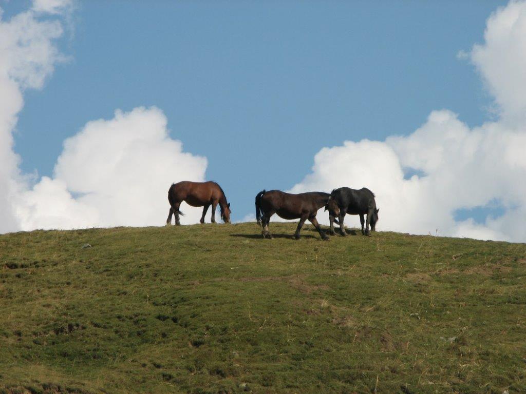
Our first hotel is an old white two-story building at 1800m above sea level right on the pass – the only building at the French side of the Spanish village El Pourtalet. We move in and hurry on to our first adventure which starts a couple of km back in France. Our track goes by the main summit of the region – 2884m high Pic du Midi d’Ossau. We see it all the time during the trip (and we see it frequently during other days as well). The track leads us to the rest house Refuge de Pombie (2031m), then to the passCol de Suzon (2127m) and to the summit Pic Saoubiste. We see goats and horses during the walk. The weather changes frequently – a cold wind is followed by warm and sunny, then drizzle. We spend 5 hours in total – not bad for the first day.

To the start
Next day