Categories
Hiking

Pic de Heche Castet

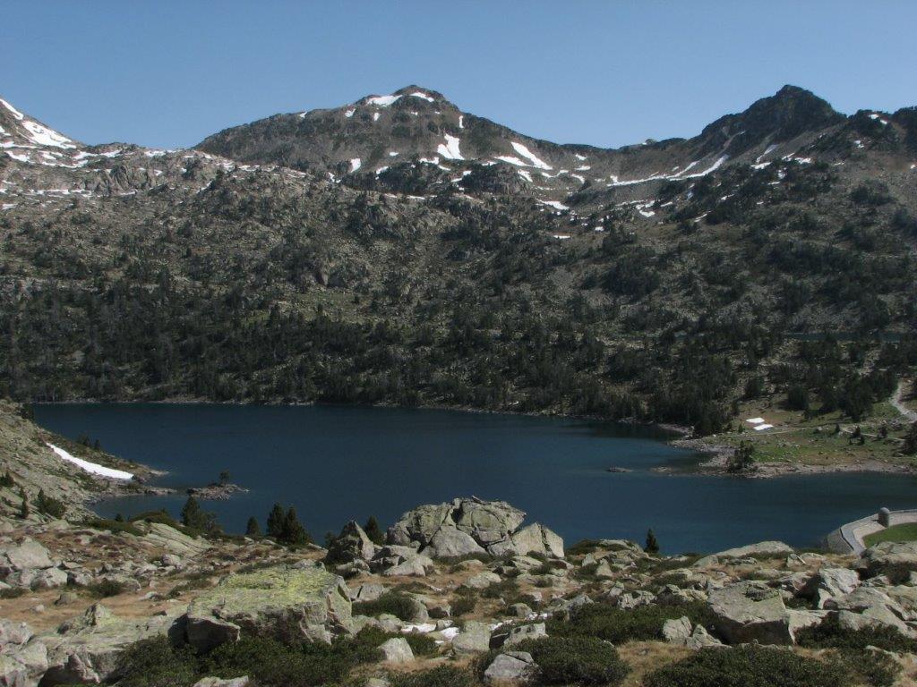
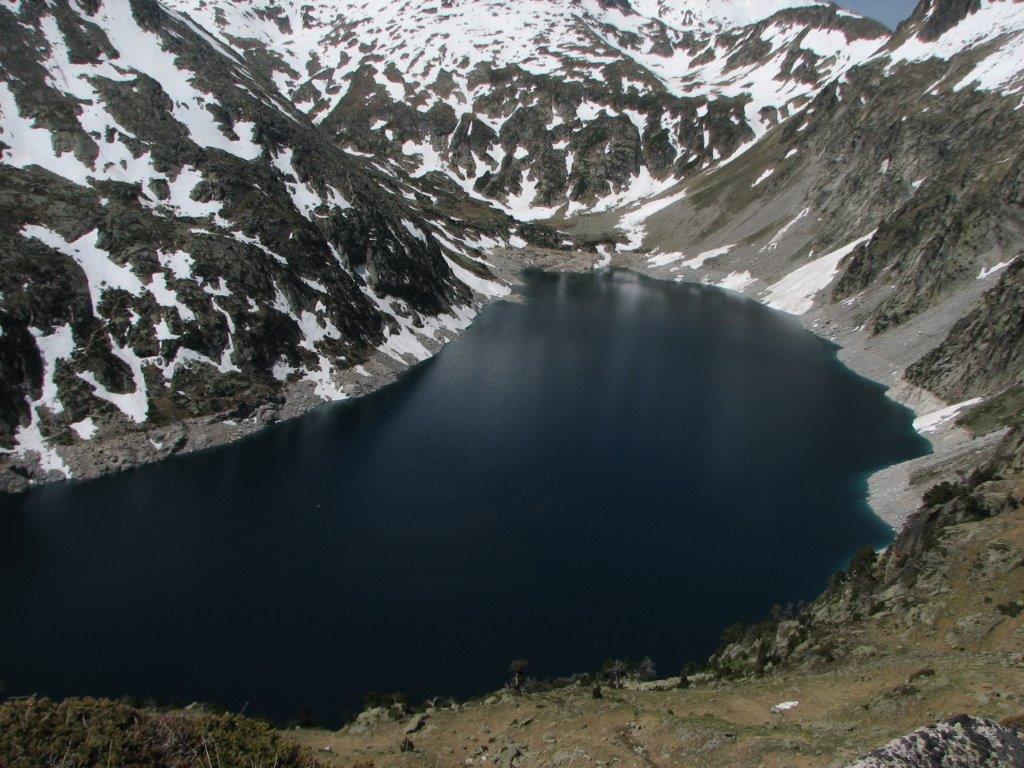
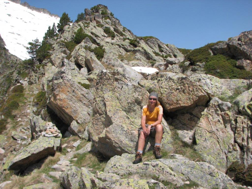
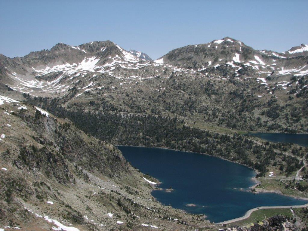
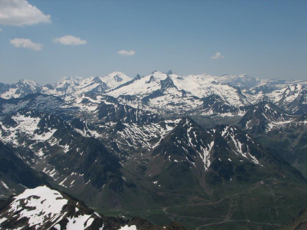
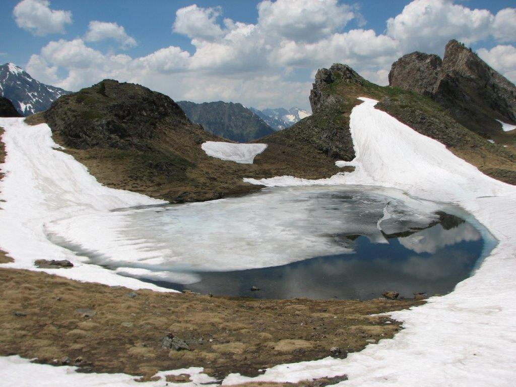
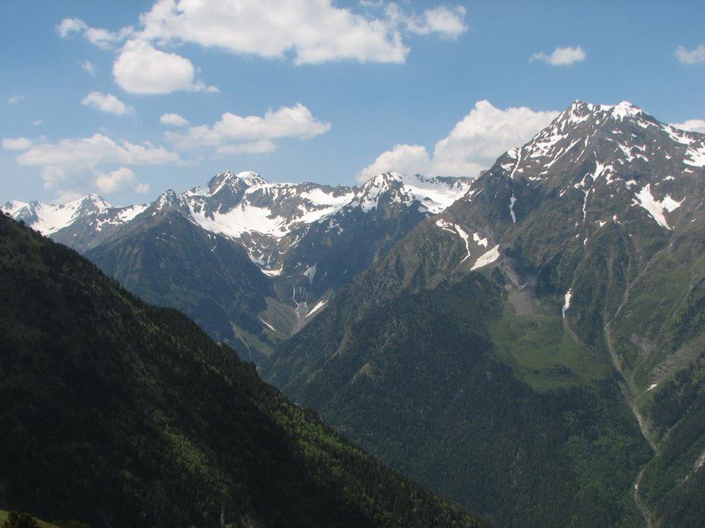
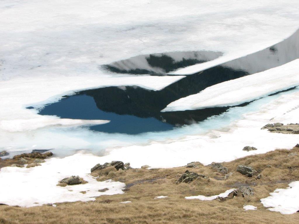
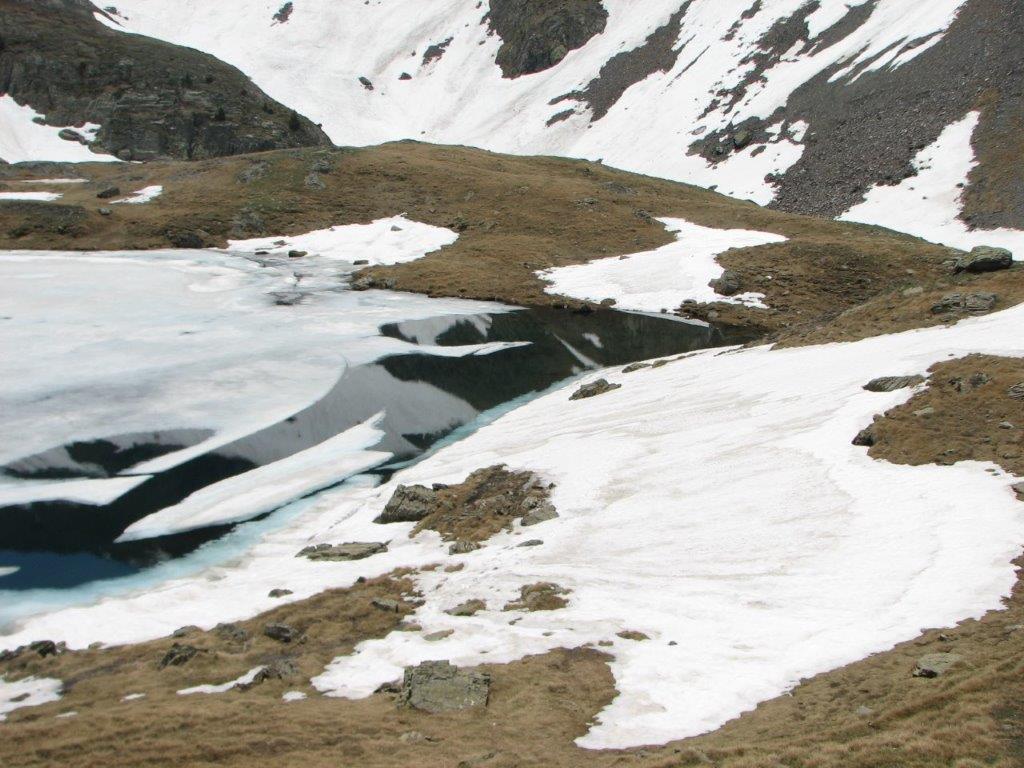
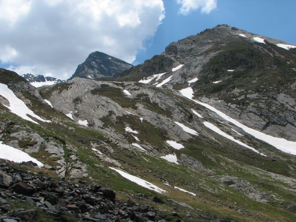
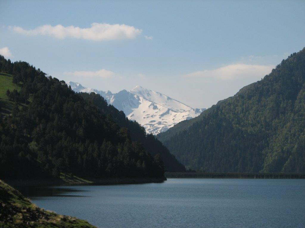
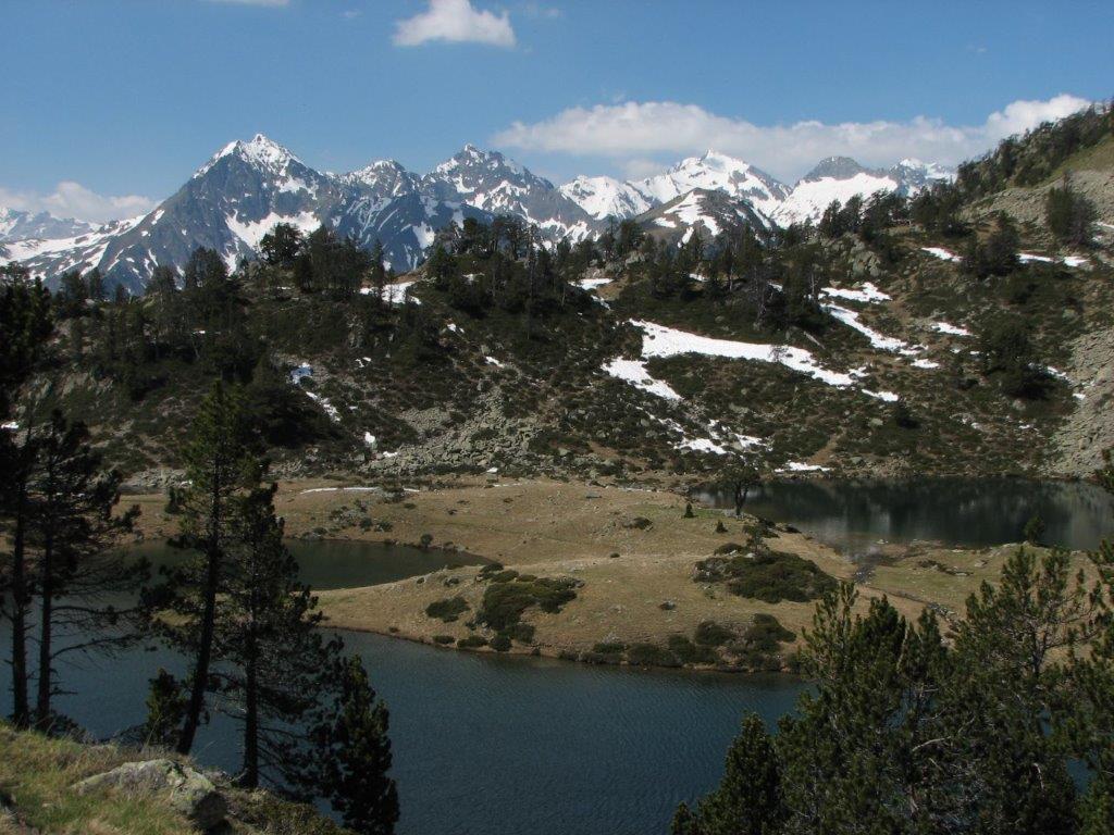
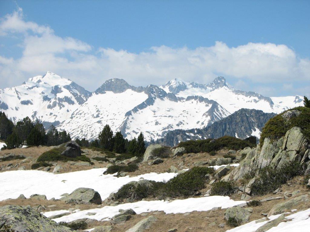
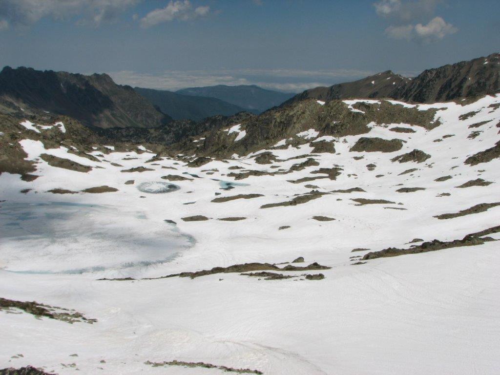
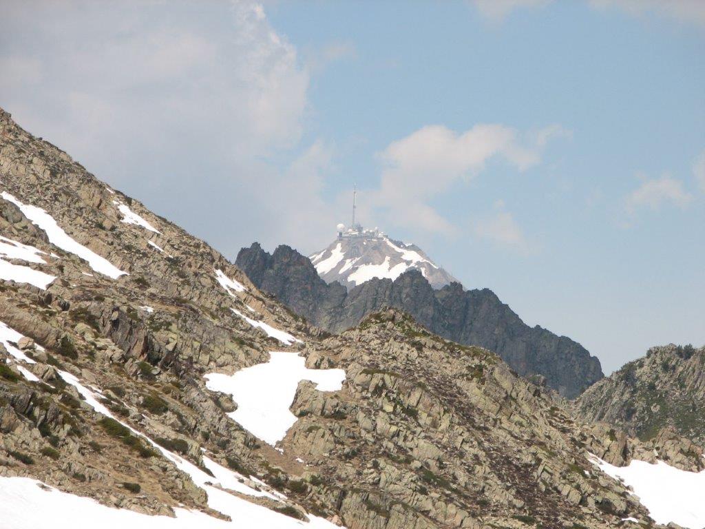
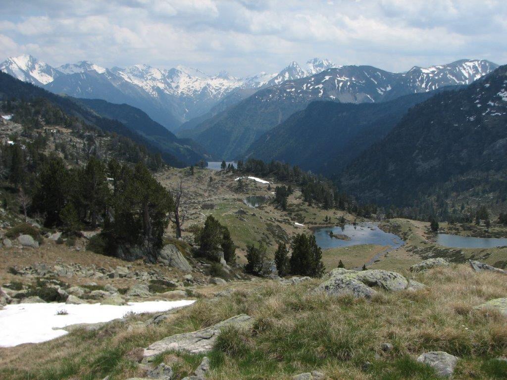
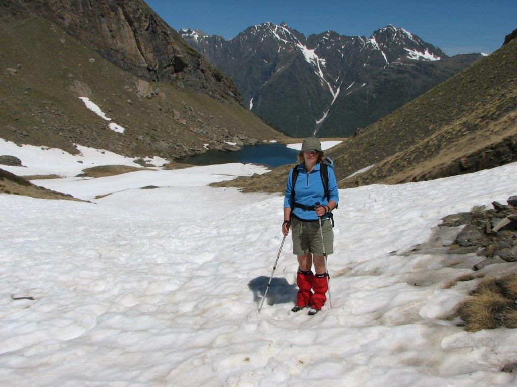
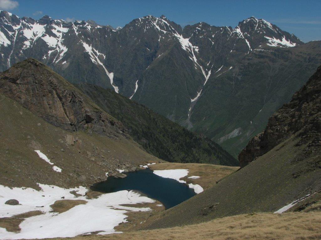
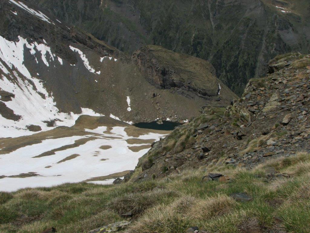
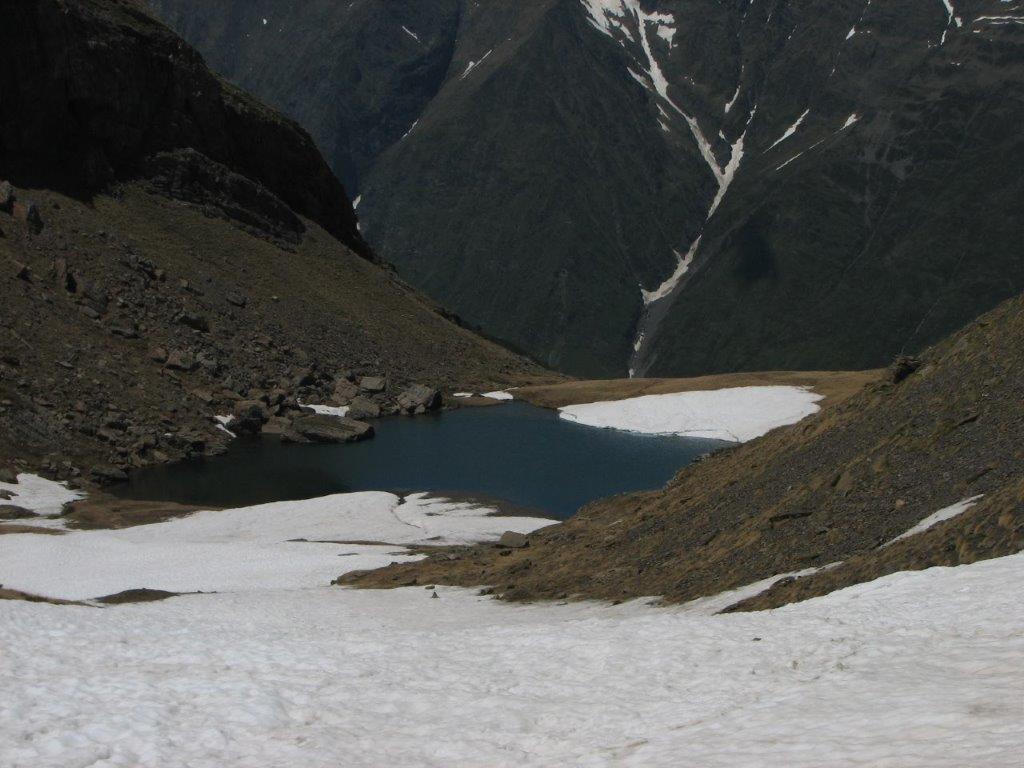
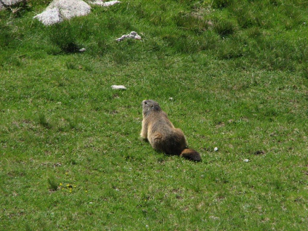
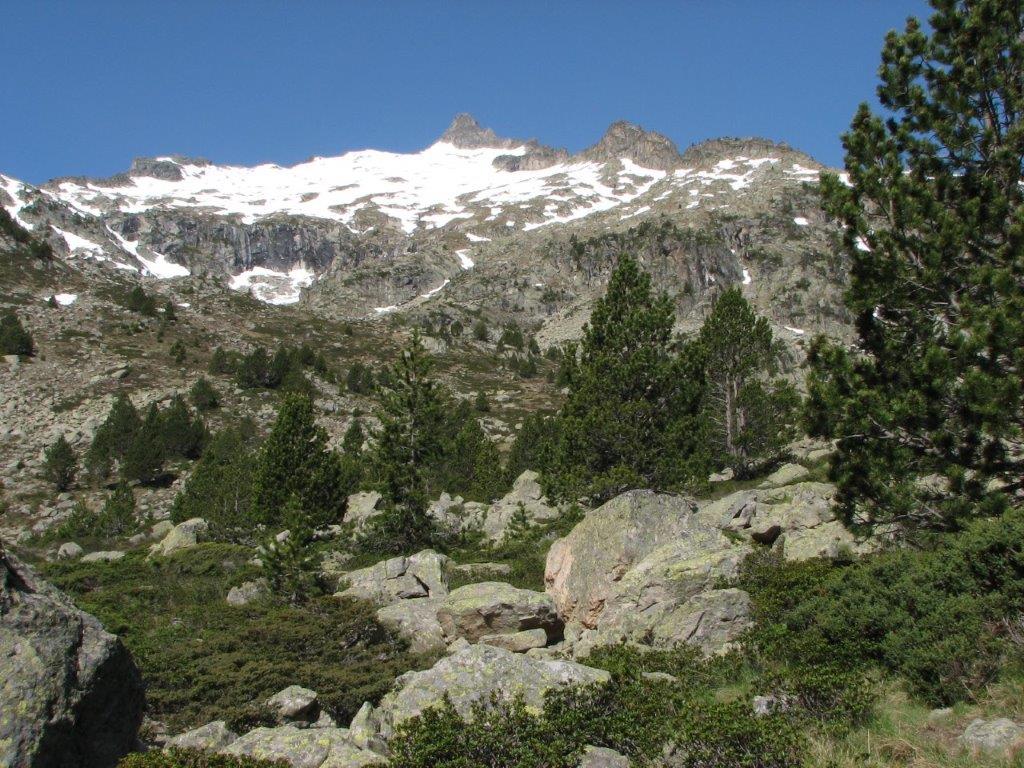
We start our trip from the parking place near lake Oredon. Nearby runs a bunch of marmots. At 9.30am we start to walk to Lac d’Aubert. When getting there we have a nice view on the snow covered mountains. Further we climb the snow-full hillside to the Pas de Gat (2465m). The snow is deep but one must be careful because in some places (near the rocks, in particular) it may hide melted out gaps. Ilze falls down almost until waist in one of such gaps. When I pull her out we see the gap and the stream underneath. There is a beautiful view on Lac de Cap Long from the pass. On the other side one can see Pic du Midi de Bigorre and the observatory.

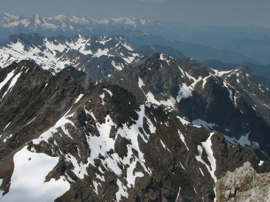
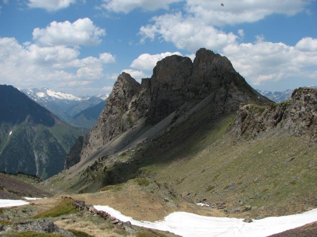
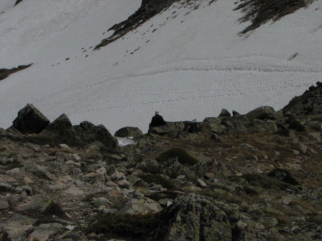
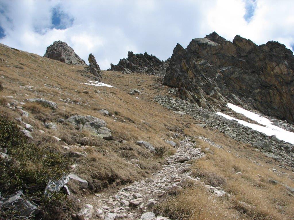
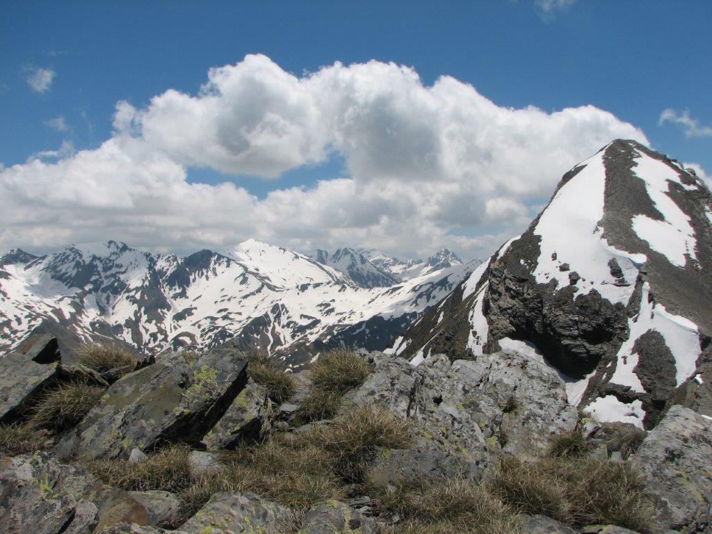
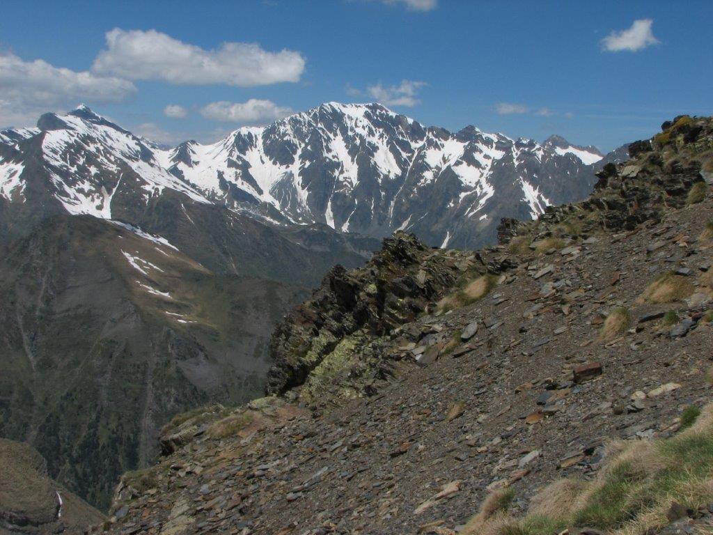
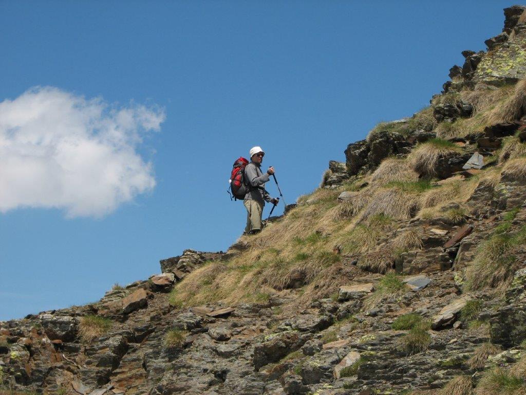
Next we struggle our way to the summit (Pic de Heche Castet). One have to go over narrow and snow-covered ridge. Looks pretty dangerous. I manage to cover almost half the way to the summit, further on the way looks even worse. No chance to get to the summit. We make our way back by the deep snow.

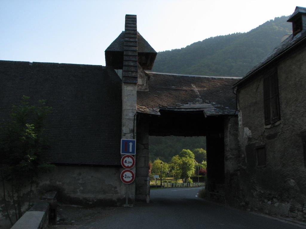
Just before the St. Lary Soulan we branch to the village of Tramezaigues. In a narrow mountain road we have to stop because the road is blocked by the tractor who is dragging something out of a ravine. There is nobody inside a tractor and we get frightened when it suddenly starts to move in our direction. It appears that on of the workers drives the tractor by the remote control 🙂

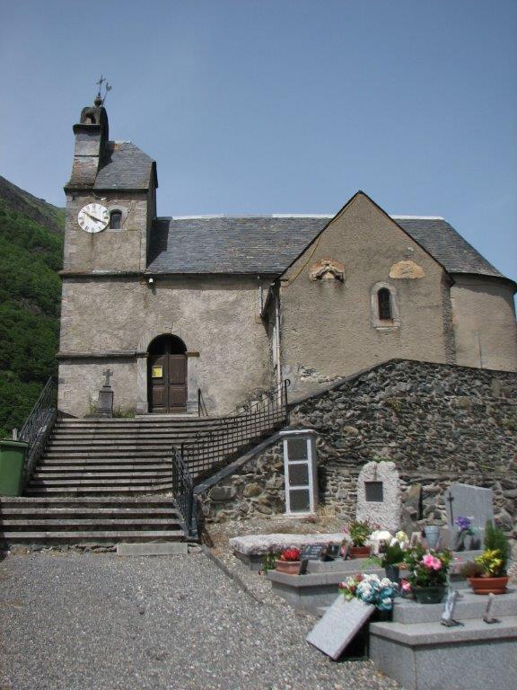
Tramezaigues is a charming little village with a church on top of the hill. We startle a kitten who tries to flee from us but bumps right against the drainpipe. This does not hold back him to escape in courtyard.

After spending some tome to view the village we drive deeper in Rioumajou valley. Unfortunately we have to give up soon – the road gets worse and we do not have a jeep 🙁
To the start
Next day
Categories
Hiking

Col d’Aspen and Pic du Midi

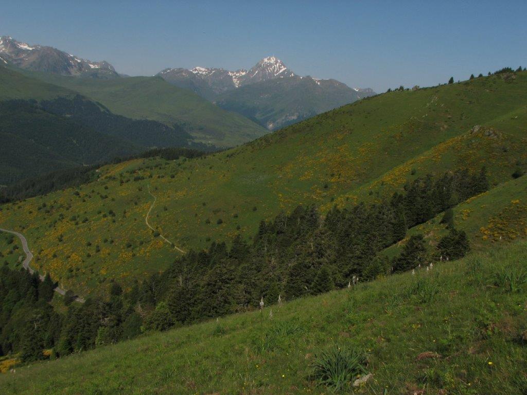
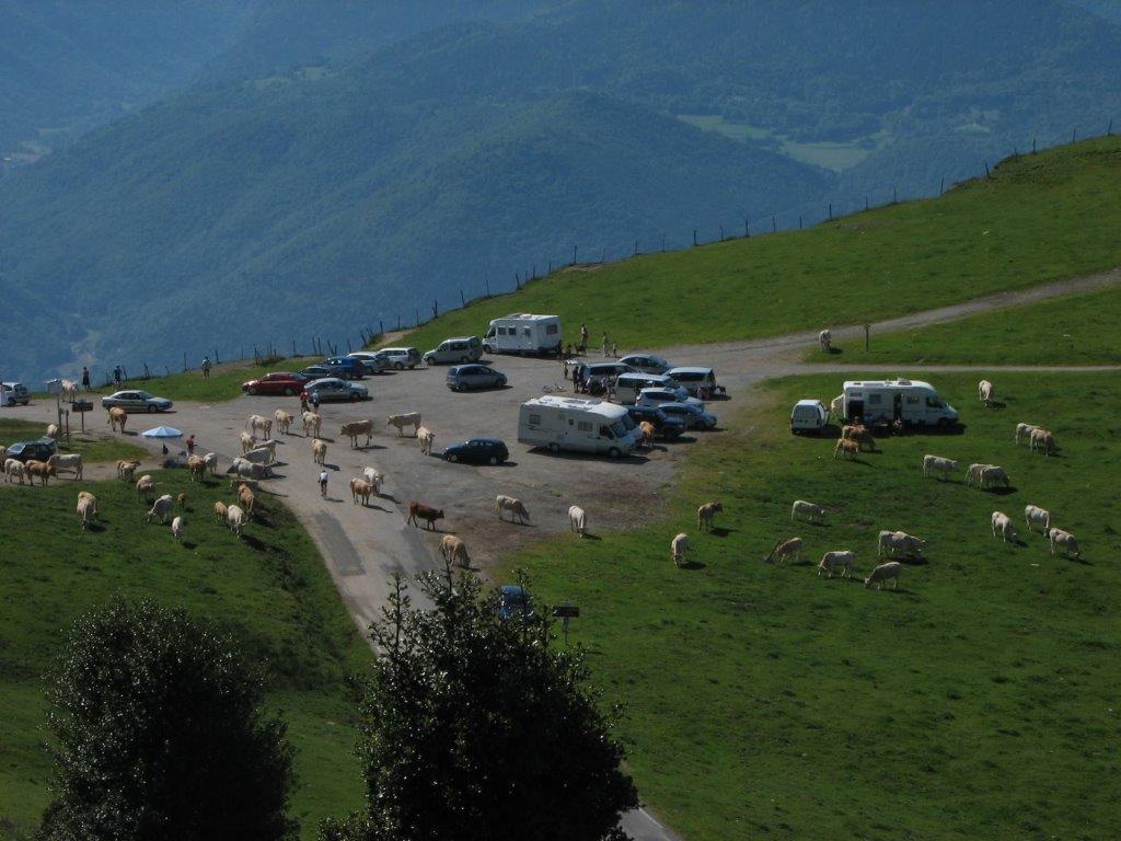
We decide to be lazy today. At first we drive some 15km North to Col d’Aspen (1400m). The parking place on the pass is occupied by goats and cows. While I take things out of the trunk a cow breathes in my nape and pushes me with her muzzle.

When ready with the cow and with our hiking equipment off we go to the nearest summit. It’s very hot – when up on the summit we take a rest and enjoy the landscape then descend back to the pass. While descending we see a gray snake that hides quickly in the grass. When we are back we see that the road is blocked by the cows. The drivers and cyclists need a patience and skill to get through. I squeeze the car between to cows and drive to Mongie – a famous mountain resort. There we take a cable car to get to the summit Pic du Midi
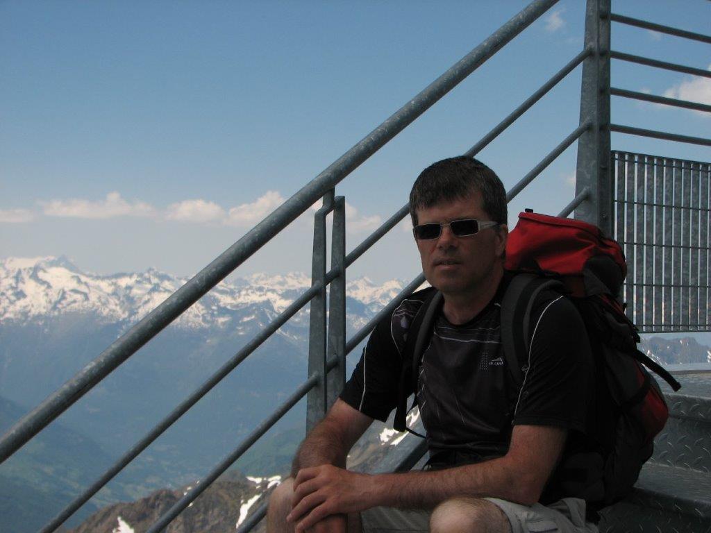
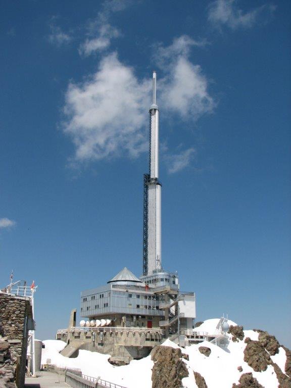
de Bigorre. There are two cable cars in fact. In the middle of the way there is a station where we have to move from one carriage to other. Both carriages move at decent height. At the summit there is an observatory and a deep snow. The territory around the observatory is surrounded by the handrail – inside there is a souvenir shop, bistros and a museum. We enjoy the mountains around and check what we see on the information table. Here is Breche de Roland in particular (we were there last year). We visit the museum as well (includes the elevator that moves slowly up like a space ship).

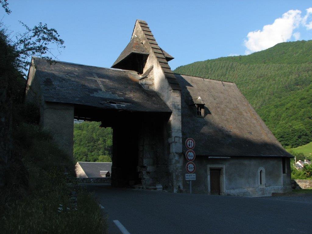
When back in Mongie we have a lunch in café (a baked camembert served on a round wooden plate, ham, baked potato wrapped in foil, salad). On a way back to St. Lary Soulan we drive trough village of Cadeac les Bains. There the road runs through the one wing of the church.

To the start
Next day
Categories
Hiking

Lacs de Consaterre

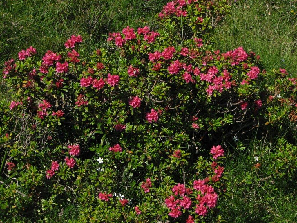
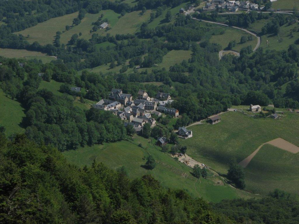
We take a mountain road that goes from St. Lary Soulan up to Sailhan, then Ens – both being tiny villages with a handfull of houses. We leave a car in the center of Ans and move uphill by the only street. We have explored the track description but still we miss the right path. After some time of uncertainty we climb up the nearby hill and find our track again. The hour of walk takes us to the hillside full of rhododendrons in blossoms. A beautiful sight – we do not have another opportunity to see that much of rhododendrons in one place.

It is hot and that makes hiking a hard experience. To our relief light wind starts to blow. Moving through the rhododendrons we climb Pas de Laubere (2179m), then to our todays destination – to lakes Lacs de Consaterre (2344m). Behind the pass snow is al around again.

During the way back we get lost but the French hikers help us to get on the right track. We are done with the track at 5pm after 7 hours walk.

To the start
Next day
Categories
Hiking

Oula and other lakes

Today the tourist favored lake district is on our schedule. A number of lakes and number of hiking tracks there. We stop in the parking place of Lac d’ Artigouse. The couch and 5-6 cars are already there. Quickly we put on the boots and start the route (while the passengers of the coach are taking the shots). The track leads us to the lake Oula. We move on by the top of dam and then by the right side of the lake. Further on we take a wrong track and by the snow-covered track climb the pass Col de Bastanet (it’s only on the pass that we understand we are not where we planned to go).

On the other side of the pass everything is covered by snow – including two lakes we are supposed to go between. We ar not sure we know were this “between” lies. Nevertheless we decide to go. Carefully we move trying to keep distance to the uncovered part of the lakes. Having passed the lakes we climb the next pass which is lower then the first one. The landscape behind the second pass is not much different – snow everywhere. The snow and rocks replace one another below our feet while we reach our destination – the lake Lac de Port-Bielh. Standing here we see a number of lakes downhill – the lake Oula as a last in a row. Looks like they are nearby. Nevertheless we have a long walk by the path surrounded by rocks and fallen trees. The path from Oula is easy go to the parking place where we arrive at 5.30pm.

To the start
Next day
Categories
Hiking

Pic de Cuneille

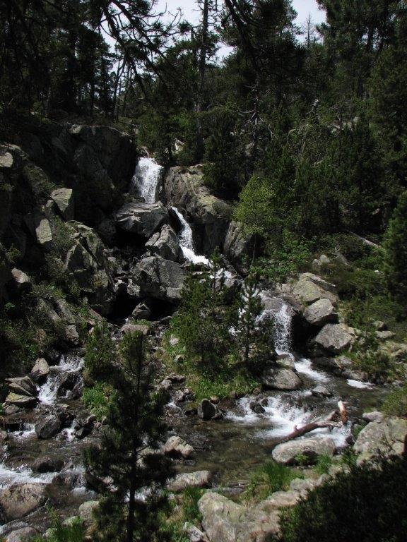
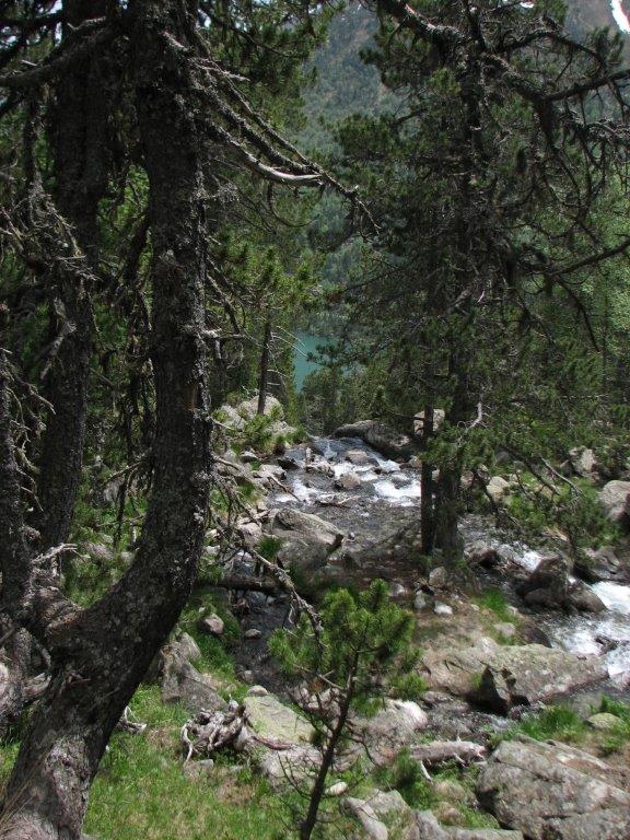
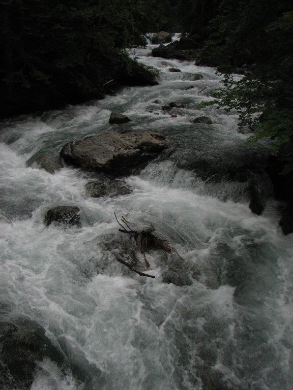
We drive almost to the Bielsa tunnel and leave the car by the road. We found no signs of track. Then we look one more time in the map and find where the track must start. Then we take off the boots and wade across the cold mountain stream. On the other side we find the track quickly and walk on through the pine wood steeply upwards by one more stream. After a while we are at the lake Lac de Cachet. Here we put on the gaiters and move upwards to the summit Pic de Cuneille (2628m). We loose the path in the snow but still make our way to the top.

We take another path downhill. Here and there we see the marmots. They whistle like birds and disappear in their burrows when we come closer. Further on the path is full of large ants. We see only 2 other persons during the trip – and this was at the beginning of the track.

Ravioli and salad for supper. After the supper we take a walk in St. Lary Soulan. At one of the shops Ilze explains to the shop-woman where on the map is the Latvia.

To the start
Next day